Dover Priory, Dover
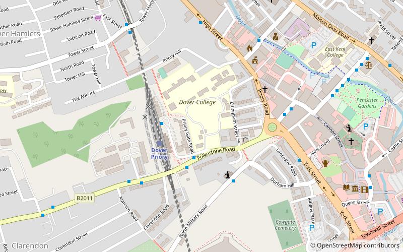
Map
Facts and practical information
The Priory of St. Mary the Virgin and St. Martin of the New Work, or Newark, commonly called Dover Priory, was a priory at Dover in southeast England. It was variously independent in rule, then occupied by canons regular of the Augustinian rule, then finally monks of the Benedictine rule as a cell of Christchurch Monastery, Canterbury. ()
Established: 1130 (896 years ago)Coordinates: 51°7'35"N, 1°18'24"E
Address
Dover
ContactAdd
Social media
Add
Getting there by public transportation
Public transportation stops near this location
- Bus
- Train
- Ferry
 Bus
Bus
- Calculate routeDover Priory 3 min walk
- Calculate routeEastern Docks 26 min walk
- Calculate routeDover 9 29 min walk
- Calculate routeDover 8 30 min walk
Day trips


Frequently Asked Questions (FAQ)
Which popular attractions are close to Dover Priory?
Nearby attractions include St Edmund's Chapel, Dover (4 min walk), Dover Town Hall, Dover (4 min walk), Roman Painted House, Dover (6 min walk), St Mary's Church, Dover (8 min walk).
How to get to Dover Priory by public transport?
The nearest stations to Dover Priory:
Train
Bus
Ferry
Train
- Dover Priory (3 min walk)
Bus
- Eastern Docks • Lines: El450 (26 min walk)
Ferry
- Dover 9 • Lines: Dover - Calais, Dover/Douvres - Calais (29 min walk)
- Dover 8 • Lines: Dover - Calais, Dover/Douvres - Calais (30 min walk)