City Evangelical Church, Leeds
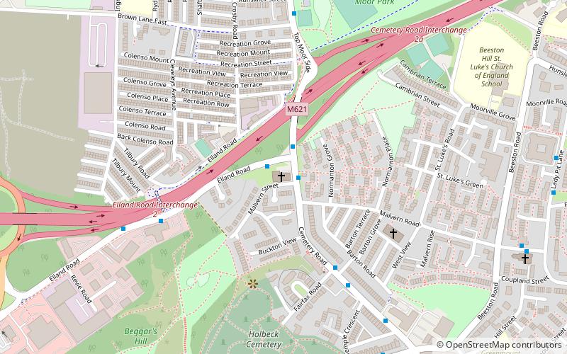
Map

Map

Facts and practical information
City Evangelical Church is an independent evangelical church in Beeston, Leeds, West Yorkshire, England. It is situated on Cemetery Road in the former Beeston Hill Baptist Chapel. ()
Coordinates: 53°46'51"N, 1°33'34"W
Address
Cemetery RdCity and Holbeck (Elland Road)Leeds LS11 8SX
Contact
+44 113 270 8568
Social media
Add
Day trips
City Evangelical Church – popular in the area (distance from the attraction)
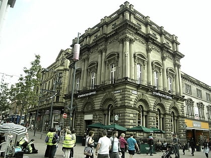
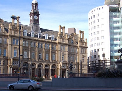
Nearby attractions include: Leeds Corn Exchange, Leeds Kirkgate Market, The Tetley, Trinity Leeds.
Frequently Asked Questions (FAQ)
Which popular attractions are close to City Evangelical Church?
Nearby attractions include Northern Forest, Leeds (11 min walk), Stratford Street Mosque, Leeds (17 min walk), Beeston, Leeds (17 min walk), Round Foundry, Leeds (20 min walk).
How to get to City Evangelical Church by public transport?
The nearest stations to City Evangelical Church:
Bus
Ferry
Train
Bus
- Beeston Hill • Lines: 1 (7 min walk)
- Malvern Road Lady Pit Lane • Lines: 1 (9 min walk)
Ferry
- Leeds Water Taxi Dock • Lines: Leeds Dock Water Taxi (34 min walk)
Train
- Moor Road (25 min walk)
- Leeds (27 min walk)


