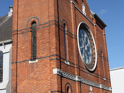
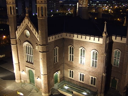
Sandy Row, Belfast
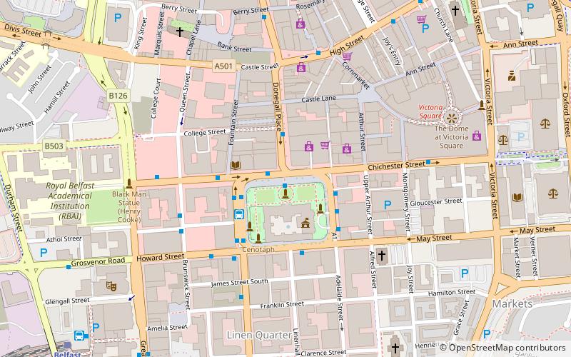
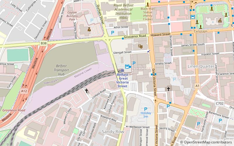
Map
Gallery
Facts and practical information
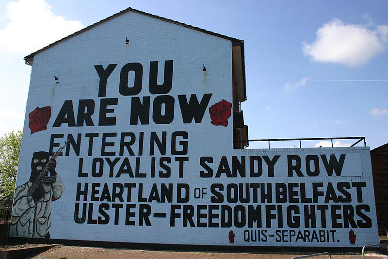
Sandy Row is a large inner city estate in south Belfast, Northern Ireland. It lends its name to the surrounding residential community, which is predominantly Protestant working-class. The Sandy Row area had a population of 2,153 in 2001; in 2018, the population was estimated to be around 4,000. It is a staunchly loyalist area of Belfast, being a traditional heartland for affiliation with the paramilitary Ulster Defence Association and the Orange Order. ()
Coordinates: 54°35'39"N, 5°56'13"W
Address
Sandy RowShaftesburyBelfast BT12 5EW
Contact
+44 28 9023 8446
Social media
Add
Day trips
Sandy Row – popular in the area (distance from the attraction)
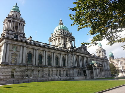
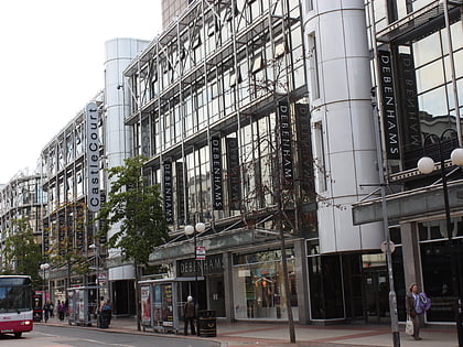
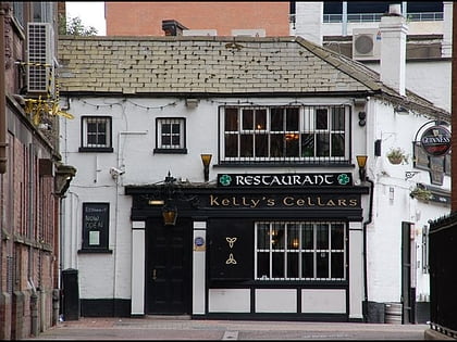
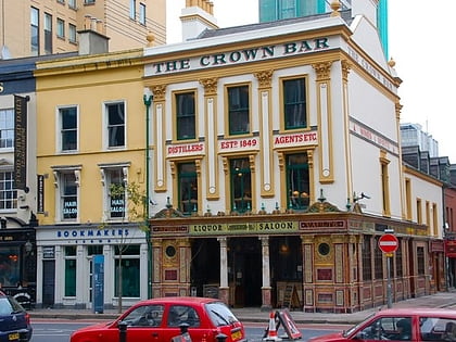
Nearby attractions include: City Hall, CastleCourt, Kelly's Cellars, Crown Liquor Saloon.
Frequently Asked Questions (FAQ)
Which popular attractions are close to Sandy Row?
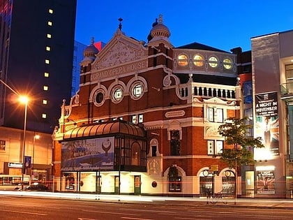
Nearby attractions include Monument to the Unknown Woman Worker, Belfast (3 min walk), Grand Opera House, Belfast (3 min walk), Great Victoria Street, Belfast (4 min walk), Ulster Hall, Belfast (7 min walk).
How to get to Sandy Row by public transport?
The nearest stations to Sandy Row:
Train
Bus
Train
- Belfast - Great Victoria Street (1 min walk)
- City Hospital (11 min walk)
Bus
- Europa Bus Centre (1 min walk)
- Belfast • Lines: X1, X2A (2 min walk)

