Fort Belan, Dinas Dinlle

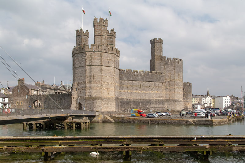
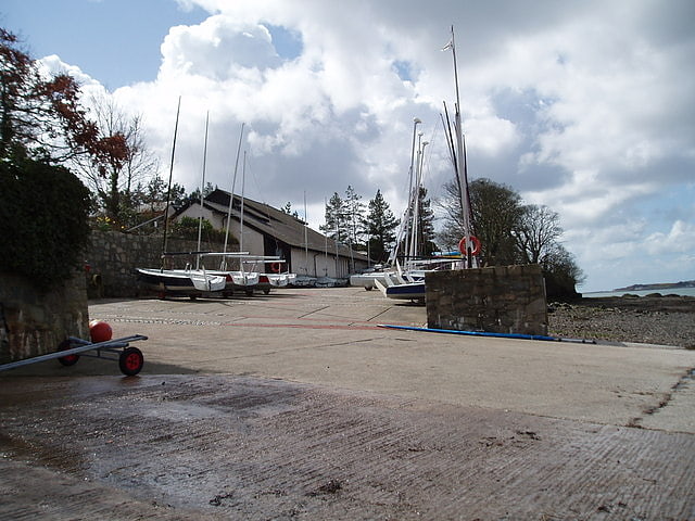
Gallery (3)
Map
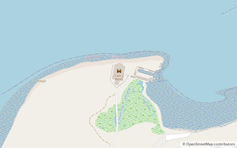
Map
Gallery
Facts and practical information
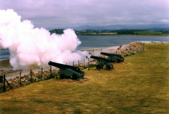
Fort Belan is a coastal fortress in North Wales. It is located opposite Abermenai Point, at the south-western end of the Menai Strait, on the coast of Gwynedd, in the parish of Llanwnda. Situated at the tip of the Dinlle Peninsula, the windblown, north-westernmost point of the Welsh mainland, the fort is cut off twice a day by the incoming tide. Of geographic importance because of its location, Fort Belan is an access point to both the north Wales coast and to Liverpool, England. ()
Completed: 1775 (251 years ago)Coordinates: 53°7'22"N, 4°19'56"W
Day trips