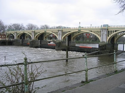
Richmond Bridge, London
Map
Gallery
Facts and practical information
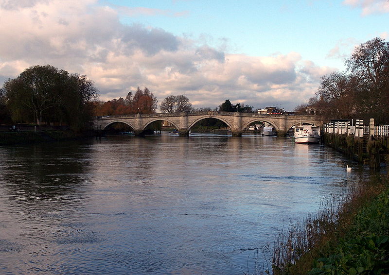
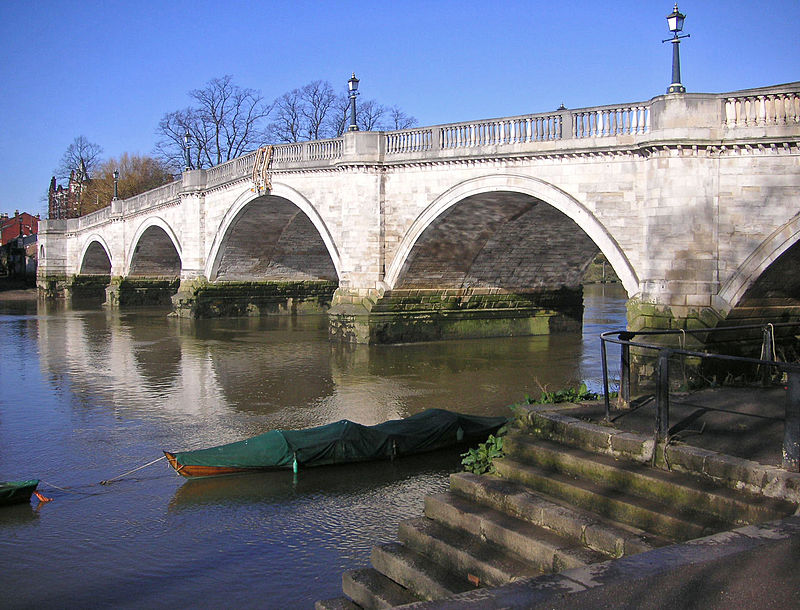
Richmond Bridge is an 18th-century stone arch bridge that crosses the River Thames at Richmond, connecting the two halves of the present-day London Borough of Richmond upon Thames. It was designed by James Paine and Kenton Couse. ()
Alternative names: Opened: 1777 (249 years ago)Length: 300 ftWidth: 36 ftCoordinates: 51°27'27"N, 0°18'26"W
Address
Lawley House, 37 Clevedon RdRichmond upon Thames (Twickenham)London
ContactAdd
Social media
Add
Day trips
Richmond Bridge – popular in the area (distance from the attraction)
Nearby attractions include: East Sheen Cemetery, Marble Hill House, Petersham Meadows, Twickenham Bridge.
Frequently Asked Questions (FAQ)
Which popular attractions are close to Richmond Bridge?
Nearby attractions include Museum of Richmond, London (3 min walk), The Vineyard Life Church, London (4 min walk), St Elizabeth of Portugal Church, London (4 min walk), Richmond Brewery Stores, London (5 min walk).
How to get to Richmond Bridge by public transport?
The nearest stations to Richmond Bridge:
Bus
Metro
Train
Bus
- Hill Rise • Lines: 65, N65 (3 min walk)
- Cresswell Road • Lines: 110, 33, 490, 969, H37, N22, N33, R68, R70 (4 min walk)
Metro
- Richmond • Lines: District (13 min walk)
Train
- St Margarets (15 min walk)
- North Sheen (27 min walk)




 Tube
Tube


