Twickenham Bridge, London


Facts and practical information
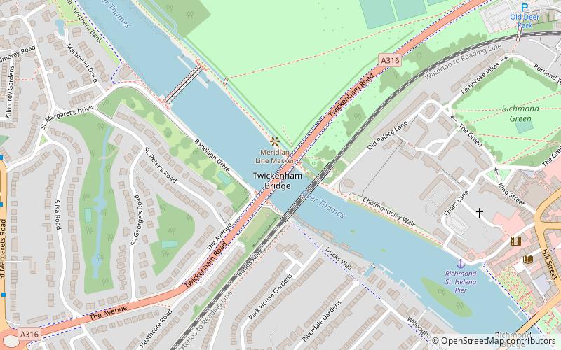
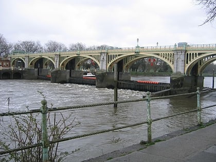
Twickenham Bridge crosses the River Thames in southwest London, England. Built in 1933 as part of the newly constructed "Chertsey Arterial Road", the bridge connects the Old Deer Park district of Richmond on the south bank of the river to St. Margarets on the north bank, both within the London Borough of Richmond upon Thames. Twickenham Bridge gets its name from the fact that it is on the road to the town of Twickenham, which is approximately 3 km upstream from Twickenham Bridge, past Richmond Bridge. Given the bridge's unique position on the river, St Margarets is actually at the southwestern end of the bridge, despite being on the north bank, while Richmond, south of the Thames, is at the northeastern end of the bridge. ()
Richmond upon Thames (St. Margarets and North Twickenham)London
Twickenham Bridge – popular in the area (distance from the attraction)
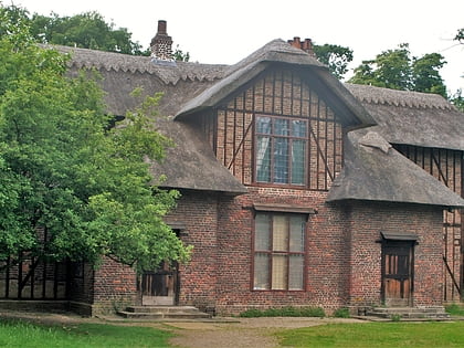
Nearby attractions include: Queen Charlotte's Cottage, Marble Hill House, Petersham Meadows, Richmond Bridge.
Frequently Asked Questions (FAQ)
Which popular attractions are close to Twickenham Bridge?
How to get to Twickenham Bridge by public transport?
Bus
- St Margaret's Drive • Lines: H37 (10 min walk)
- Cresswell Road • Lines: 110, 33, 490, 969, H37, N22, N33, R68, R70 (10 min walk)
Train
- St Margarets (12 min walk)
- Twickenham (24 min walk)
Metro
- Richmond • Lines: District (16 min walk)

 Tube
Tube


