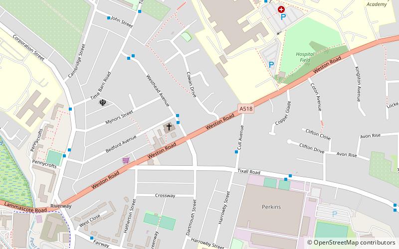
Littleworth, Stafford
Map
Facts and practical information
Littleworth may refer to several places in England: ()
Coordinates: 52°48'30"N, 2°6'0"W
Address
Stafford
ContactAdd
Social media
Add
Getting there by public transportation
Public transportation stops near this location
- Bus
- Train
 Bus
Bus
- Calculate routeCope Street 16 min walk
- Calculate routeShrewsbury Arms PH 16 min walk
- Calculate routeGatehouse Theatre 18 min walk
- Calculate routeThe Sun PH 18 min walk
- Calculate routeStafford 26 min walk
Day trips


Frequently Asked Questions (FAQ)
Which popular attractions are close to Littleworth?
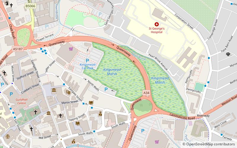
Nearby attractions include Kingsmead Marsh, Stafford (13 min walk), William Salt Library, Stafford (16 min walk), Gatehouse Theatre, Stafford (18 min walk), Borough Hall, Stafford (18 min walk).
How to get to Littleworth by public transport?
The nearest stations to Littleworth:
Bus
Train
Bus
- Cope Street • Lines: 877, 878 (16 min walk)
- Shrewsbury Arms PH • Lines: 877, 878 (16 min walk)
Train
- Stafford (26 min walk)