Wakefield Castle, Wakefield
Map

Map

Facts and practical information
Wakefield Castle, Lowe Hill or Lawe Hill was a castle built in the 12th century on a hill on the north side of the River Calder near Wakefield, England. Its name derives from the Anglo Saxon hlaew meaning a mound or cairn, possibly a burial mound or barrow. The mound, situated a quarter mile from the river, was separated from the town by flat swampy land and was seen as a good site for a fortification. ()
Coordinates: 53°40'21"N, 1°30'26"W
Address
Wakefield WestWakefield
ContactAdd
Social media
Add
Day trips
Wakefield Castle – popular in the area (distance from the attraction)
Nearby attractions include: Trinity Walk, Sandal Castle, The Hepworth Wakefield, Wakefield Cathedral.
Frequently Asked Questions (FAQ)
Which popular attractions are close to Wakefield Castle?
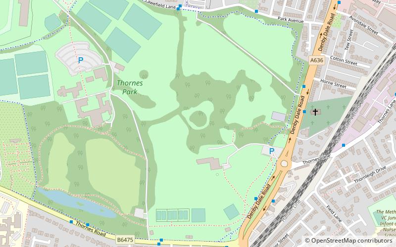
Nearby attractions include Thornes Park, Wakefield (4 min walk), Albion Mills Retail Park, Wakefield (14 min walk), Theatre Royal Wakefield, Wakefield (18 min walk), The Hepworth Wakefield, Wakefield (18 min walk).
How to get to Wakefield Castle by public transport?
The nearest stations to Wakefield Castle:
Bus
Train
Bus
- C3 Wakefield Charlesworth Way • Lines: Wcb (9 min walk)
- C3A Charlesworth Way Cineworld • Lines: Wcb (9 min walk)
Train
- Wakefield Westgate (17 min walk)
- Wakefield Kirkgate (23 min walk)


