Woolmer Forest, South Downs National Park
Map
Map

Facts and practical information
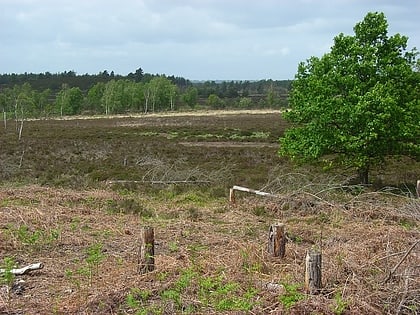
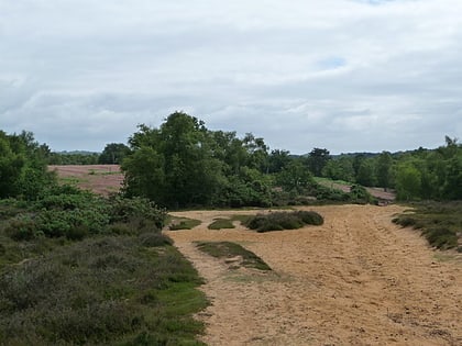
Woolmer Forest is a 1,298.5-hectare biological Site of Special Scientific Interest south of Bordon in Hampshire and West Sussex. It is also a Special Area of Conservation and part of the Wealden Heaths Phase II Special Protection Area. Two areas are Nature Conservation Review sites, Grade I. ()
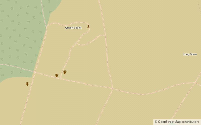
Coordinates: 51°5'0"N, 0°51'25"W
Address
South Downs National Park
ContactAdd
Social media
Add
Day trips
Woolmer Forest – popular in the area (distance from the attraction)
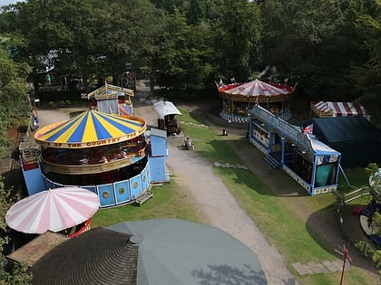
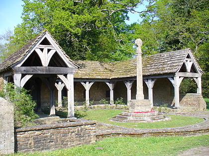
Nearby attractions include: Hollycombe Steam Collection, Hangers Way, The Sculpture Park, Blackmoor War Memorial.
Frequently Asked Questions (FAQ)
How to get to Woolmer Forest by public transport?
The nearest stations to Woolmer Forest:
Bus
Bus
- Forest Road • Lines: 13 (30 min walk)
- Mayflower Road • Lines: 13 (32 min walk)
