Brassey SSSI, Cotswold Water Park
Map

Map

Facts and practical information
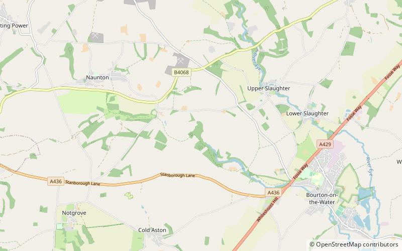
Brassey is a 2.1-hectare biological Site of Special Scientific Interest in Gloucestershire, notified in 1954 and renotified in 1983. It is situated on the north side of the Windrush Valley, midway between Naunton and Upper Slaughter. The reserve comprises sloping, unimproved limestone pasture. There is a fast-flowing stream. This site is one of the few freshwater marshes in Gloucestershire. The stream joins the River Windrush. ()
Coordinates: 51°53'58"N, 1°47'55"W
Address
Cotswold Water Park
ContactAdd
Social media
Add
Day trips
Brassey SSSI – popular in the area (distance from the attraction)
Nearby attractions include: Oxfordshire Way, Birdland Park and Gardens, St Edward's Church, Cotswold Motoring Museum.


