Melbury Down

Gallery (1)
Map
Map
Facts and practical information
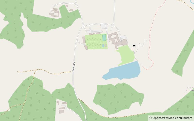
Melbury Down is an area of downland in northern Dorset, England. ()
Elevation: 476 ft a.s.l.Coordinates: 50°51'3"N, 2°36'18"W
Location
England
ContactAdd
Social media
Add
Day trips
Melbury Down is an area of downland in northern Dorset, England. ()
England
Where to next? Visit ![]() England region page or discover the top tourist attractions in United Kingdom.
England region page or discover the top tourist attractions in United Kingdom.


