Rampisham Down
Map
Gallery

Facts and practical information
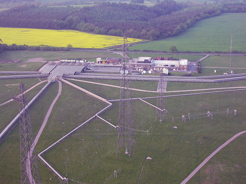
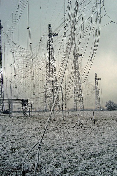
Rampisham Down is a chalk hill in the Dorset Downs, eight miles north west of Dorchester in west Dorset, England. The highest part of the hill is 221 metres. To the north east of the hill is the Frome valley and the village of Rampisham, to the south west is the Hooke valley and the village of Hooke. The A356 road between Dorchester and Crewkerne cuts across the down. ()
Elevation: 725 ftProminence: 16 ftCoordinates: 50°48'37"N, 2°38'55"W
Location
England
ContactAdd
Social media
Add
Day trips
Rampisham Down – popular in the area (distance from the attraction)
Nearby attractions include: Bridport Museum, Bridport Town Hall, Bridport Arts Centre, St. Mary's Church.


