St Martin's
#7444 among destinations in the United Kingdom


Facts and practical information
St Martin's – popular in the area (distance from the attraction)
Nearby attractions include: Pontcysyllte Aqueduct, Chirk Castle, Chirk Aqueduct, Whittington Castle.

4.5 miNW Iconic arched structure with boat ridesPontcysyllte Aqueduct, Llangollen
116 min walk • The Pontcysyllte Aqueduct, a feat of engineering and a testament to the industrial revolution, is a navigable aqueduct located near the town of Llangollen, in the county of Wrexham, Wales. Completed in 1805, this remarkable structure carries the Llangollen Canal over...
 700-year-old Welsh fortress and parkland
Chirk Castle, Chirk
80 min walk • Chirk Castle stands as a majestic testament to medieval military architecture in the small town of Chirk, within the scenic borders of Wales, United Kingdom. Completed in 1310, this imposing fortress has been guarding the entrance to the Ceiriog Valley for over seven...
 Bridge
Chirk Aqueduct, Chirk
48 min walk • Chirk Aqueduct is a 70-foot high and 710-foot long navigable aqueduct that carries what is now the Llangollen Canal across the Ceiriog Valley near Chirk, on the England-Wales border, spanning the two countries.
 Forts and castles
Whittington Castle, Oswestry
82 min walk • Whittington Castle is a castle in northern Shropshire, England, owned and managed by the Whittington Castle Preservation Fund. The castle was originally a motte-and-bailey castle, but this was replaced in the 13th century by one with buildings around a courtyard whose exterior wall was the curtain wall of the inner bailey.
 City hall
Oswestry Guildhall, Oswestry
109 min walk • Oswestry Guildhall is a municipal building in Bailey Head in Oswestry, Shropshire, England. The structure, which was the meeting place of Oswestry Municipal Borough Council, is a Grade II listed building.
 Forts and castles
Old Oswestry
89 min walk • Old Oswestry is a large early Iron Age hill fort in the Welsh Marches near Oswestry in north west Shropshire, England. The earthworks, which remain one of the best preserved hill forts in the UK, have been described as "The Stonehenge of the Iron Age Period".
 Hiking, Hiking trail
Maelor Way
76 min walk • Maelor Way is a key long distance footpath, running 38 kilometres / 24 miles from the Offa's Dyke Path National Trail at Bronygarth to the Shropshire Way, Sandstone Trail, Llangollen Canal, South Cheshire Way, and the Marches Way all at Grindley Brook near Whitchurch.
 Historic walking areas, Historical place, Forts and castles
Oswestry Castle, Oswestry
109 min walk • Oswestry Castle is a medieval castle in the town of Oswestry, Shropshire, England. The castle has also been known as, or recorded in historical documents as: Album Monasterium; Blancminster; Blankmouster; Blancmustier; Croes Oswald; L'Oeuvre; L'uvre; Castle Loure; Luure; Luvre; Lvvre: Castle Philip; Oswaldestre; Meresberie.
 Canal
CanalChirk Tunnel, Chirk
56 min walk • Chirk Tunnel is a canal tunnel near Chirk, Wales. It lies on the Llangollen Canal, immediately northwards of the Chirk Aqueduct. It is 421 metres long and has a complete towpath inside. The tunnel is designed for a single standard narrowboat, so passing is not possible.
 Canal
CanalFrankton Junction
112 min walk • Frankton Junction is the name of the canal junction where the Montgomery Canal terminates and meets the Llangollen Canal at Lower Frankton, Shropshire, England.
 Church
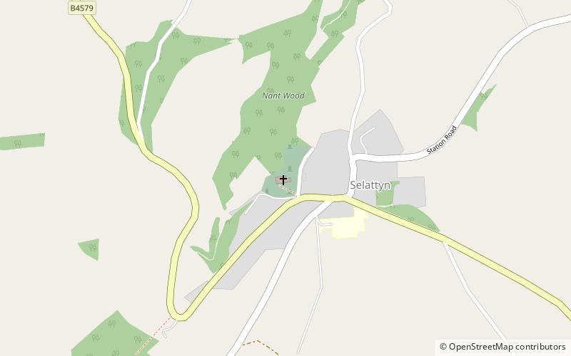
Selattyn
85 min walk • Selattyn and Gobowen is a civil parish in Shropshire, England. The civil parish population at the 2011 census was 4,016.
