Wilberfoss
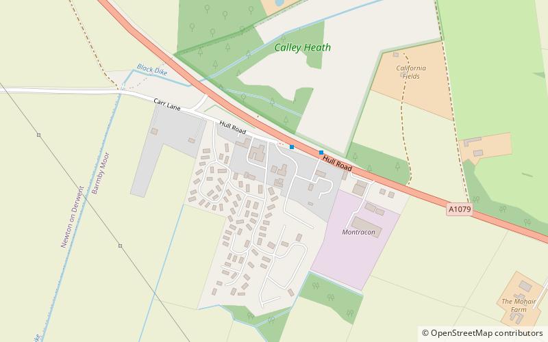
Map

Map

Facts and practical information
Wilberfoss is a village and civil parish in the East Riding of Yorkshire, England. It is situated on the north side of the A1079 approximately 8 miles east of York city centre and 11 miles north-west of Market Weighton. According to the 2011 UK census, Wilberfoss parish had a population of 1,866, an increase on the 2001 UK census figure of 1,855. ()
Location
England
ContactAdd
Social media
Add
Day trips
Wilberfoss – popular in the area (distance from the attraction)
Nearby attractions include: Burnby Hall Gardens, Church of All Saints, Pocklington Arts Centre, York Maze.


