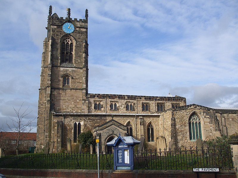
Church of All Saints, Pocklington

Gallery (2)
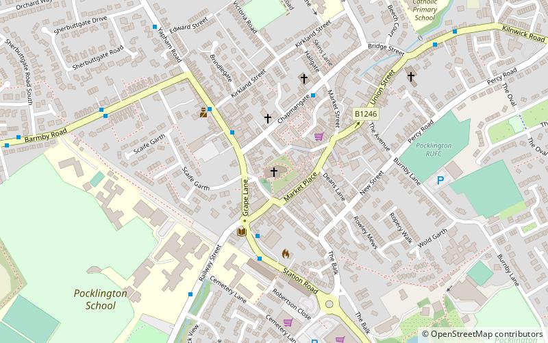
Map
Map
Gallery
Facts and practical information
All Saints’ Church, Pocklington is the Anglican parish church for the town of Pocklington, East Riding of Yorkshire, England. It is also known locally as the Cathedral of the Wolds, it is an important Grade I listed building, dating mainly from the 12th to the 15th century. It is a constituent parish of the Diocese of York. ()
Coordinates: 53°55'51"N, 0°46'46"W
Day trips


Frequently Asked Questions (FAQ)
Which popular attractions are close to Church of All Saints?
Nearby attractions include Pocklington Arts Centre, Pocklington (2 min walk), Burnby Hall Gardens, Pocklington (7 min walk), Pocklington Iron Age burial ground, Pocklington (15 min walk).