Pocklington Iron Age burial ground, Pocklington
Map
Facts and practical information
The Pocklington Iron Age burial ground is a prehistoric cemetery discovered in 2014 on the outskirts of Pocklington in the East Riding of Yorkshire, England. Excavations carried out on an ongoing basis since then, have uncovered more than 160 skeletons and more than 70 square barrows thought to date to the Middle Iron Age that are attributed to the Arras culture, an ancient British culture of East Yorkshire. A variety of grave goods have been found along with the human remains, including weapons, beads, pots, and a rare chariot burial. ()
Coordinates: 53°55'34"N, 0°46'5"W
Address
Pocklington
ContactAdd
Social media
Add
Day trips


Frequently Asked Questions (FAQ)
Which popular attractions are close to Pocklington Iron Age burial ground?
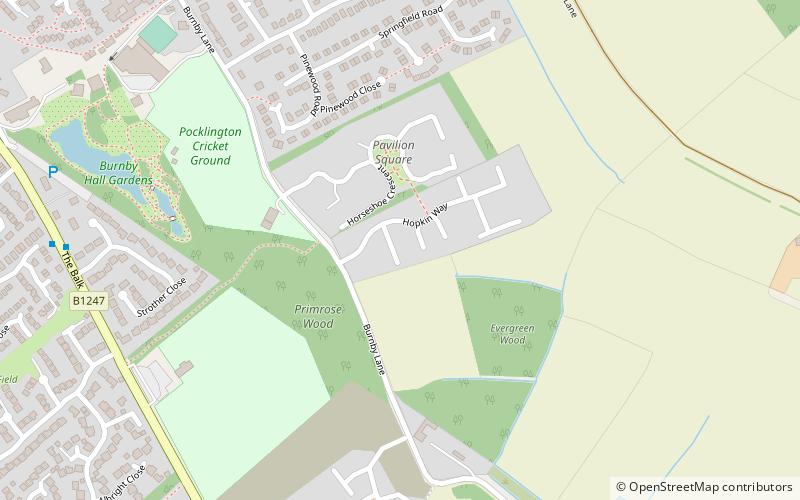
Nearby attractions include Burnby Hall Gardens, Pocklington (10 min walk), Pocklington Arts Centre, Pocklington (14 min walk), Church of All Saints, Pocklington (15 min walk).