Abbott's Hike, Ilkley
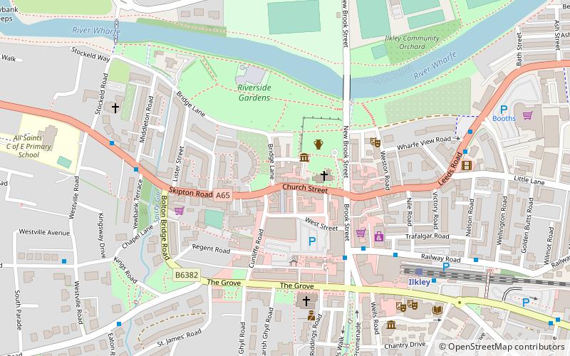
Map
Facts and practical information
Abbott's Hike is a long distance footpath in Northern England in the United Kingdom. ()
Length: 106.88 miCoordinates: 53°55'30"N, 1°49'1"W
Getting there by public transportation
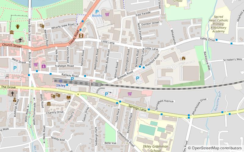
Public transportation stops near this location
- Bus
- Train
 Bus
Bus
- Calculate routeMayfield Road Brewery Road 2 min walk
- Calculate routeRailway Road Nelson Road 3 min walk
- Calculate routeIlkley Bus Station Stand B 5 min walk
- Calculate routeIlkley 5 min walk
- Calculate routeBen Rhydding 21 min walk
Day trips


Frequently Asked Questions (FAQ)
Which popular attractions are close to Abbott's Hike?
Nearby attractions include Ilkley Town Hall, Ilkley (5 min walk), Ilkley Grammar School, Ilkley (7 min walk), All Saints Church, Ilkley (8 min walk), Ilkley Roman Fort, Ilkley (9 min walk).
How to get to Abbott's Hike by public transport?
The nearest stations to Abbott's Hike:
Bus
Train
Bus
- Mayfield Road Brewery Road • Lines: X84 (2 min walk)
- Railway Road Nelson Road • Lines: X84 (3 min walk)
Train
- Ilkley (5 min walk)
- Ben Rhydding (21 min walk)