Ilkley Roman Fort, Ilkley
Map
Gallery
Facts and practical information
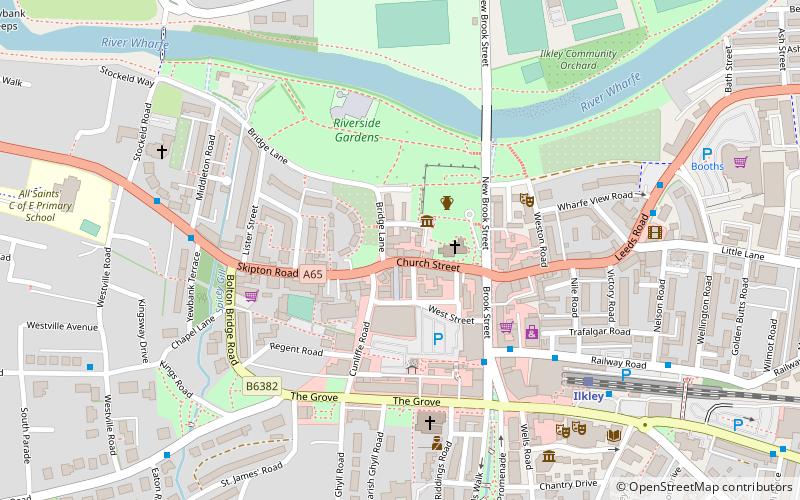
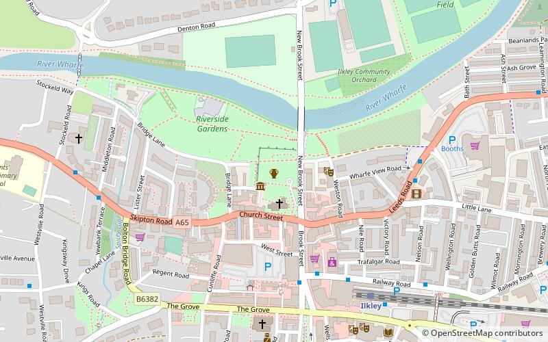
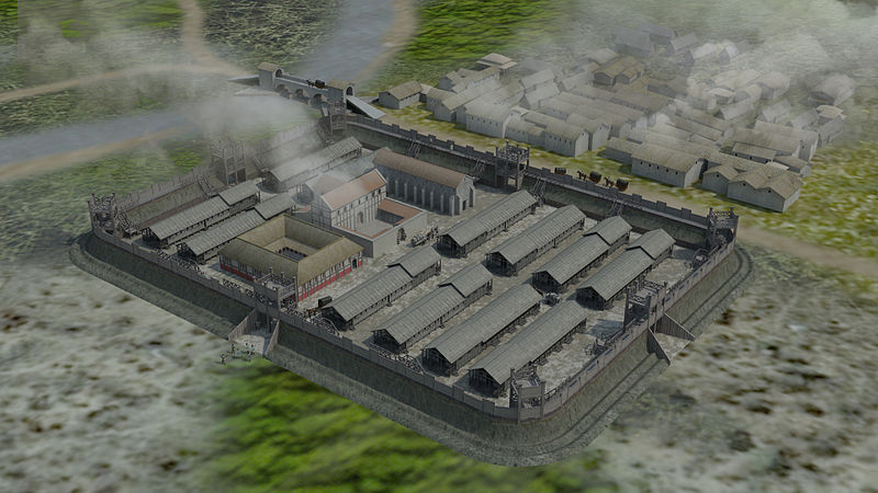
Ilkley Roman Fort is a Roman fort on the south bank of the River Wharfe, at the centre of the modern town of Ilkley, a Victorian spa town in West Yorkshire, England. ()
Address
Keighley (Ilkley)Ilkley
ContactAdd
Social media
Add
Day trips
Ilkley Roman Fort – popular in the area (distance from the attraction)
Nearby attractions include: Manor House Museum, Dales Way, Ilkley Toy Museum, Ilkley Town Hall.
Frequently Asked Questions (FAQ)
Which popular attractions are close to Ilkley Roman Fort?
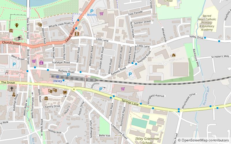
Nearby attractions include Manor House Museum, Ilkley (1 min walk), All Saints Church, Ilkley (2 min walk), Ilkley Toy Museum, Ilkley (4 min walk), Ilkley Town Hall, Ilkley (7 min walk).
How to get to Ilkley Roman Fort by public transport?
The nearest stations to Ilkley Roman Fort:
Bus
Train
Bus
- Railway Road Brook Street • Lines: X84 (4 min walk)
- Brook Street Railway Road • Lines: 784, 873, 875 (4 min walk)
Train
- Ilkley (6 min walk)
- Ben Rhydding (28 min walk)


