Dales Way, Ilkley
Map

Gallery

Facts and practical information
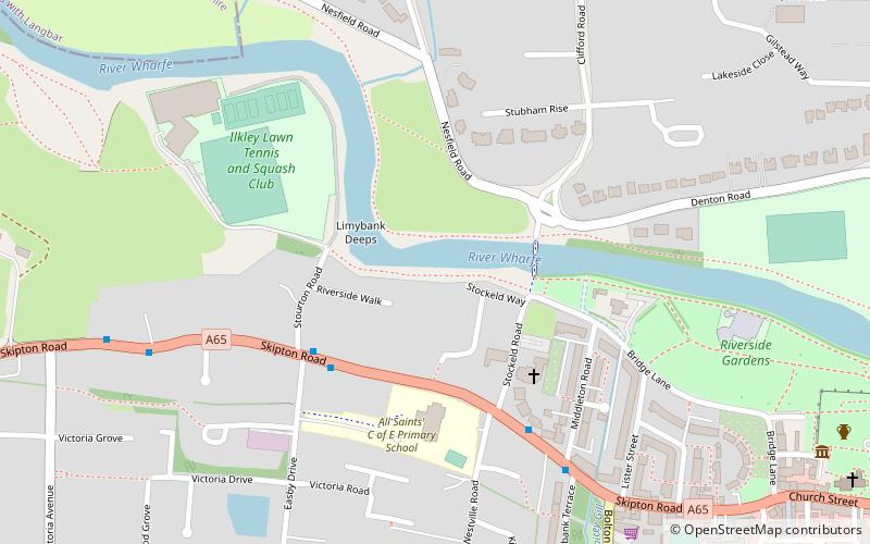
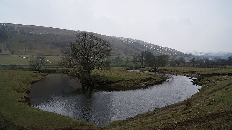
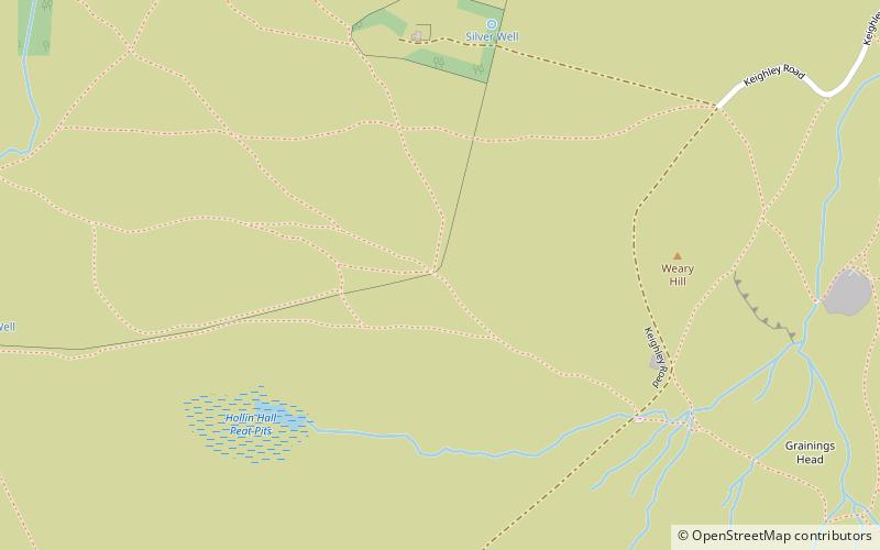
The Dales Way is an 78.5-mile long-distance footpath in Northern England, from Ilkley, West Yorkshire, to Bowness-on-Windermere, Cumbria. This walk was initially devised by the West Riding Ramblers' Association with the 'leading lights' being Colin Speakman and Tom Wilcock. The route was announced to the public in 1968 and the first recorded crossing was by a group of Bradford Grammar School Venture Scouts in 1969. ()
Length: 80 miMaximum elevation: 1608 ftCoordinates: 53°55'44"N, 1°49'57"W
Address
Keighley (Ilkley)Ilkley
ContactAdd
Social media
Add
Day trips
Dales Way – popular in the area (distance from the attraction)
Nearby attractions include: Manor House Museum, Ilkley Toy Museum, Ilkley Town Hall, Ilkley Golf Club.
Frequently Asked Questions (FAQ)
Which popular attractions are close to Dales Way?
Nearby attractions include Ilkley Toy Museum, Ilkley (7 min walk), Manor House Museum, Ilkley (9 min walk), Heathcote, Ilkley (9 min walk), Ilkley Roman Fort, Ilkley (9 min walk).
How to get to Dales Way by public transport?
The nearest stations to Dales Way:
Bus
Train
Bus
- Skipton Road Easby Drive • Lines: 784, 873, 875 (3 min walk)
Train
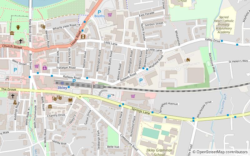
- Ilkley (14 min walk)


