Aylestone Road, Leicester
Map
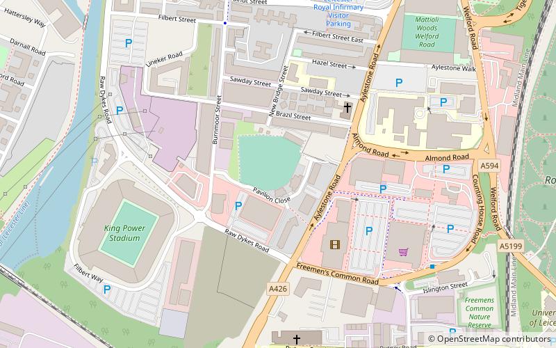
Map

Facts and practical information
Aylestone Road, now also known as the Leicester Electricity Sports Cricket Ground, is a cricket ground in Leicester, England, which was the headquarters of Leicestershire County Cricket Club from 1901 to 1939. Although the playing area is much reduced by housing and commercial developments, it is still used as a cricket ground, though not by the county team. ()
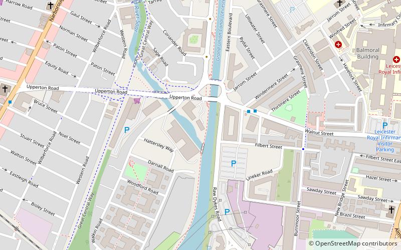
Coordinates: 52°37'17"N, 1°8'15"W
Address
Leicester South (Castle)Leicester
ContactAdd
Social media
Add
Day trips
Aylestone Road – popular in the area (distance from the attraction)
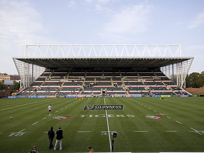
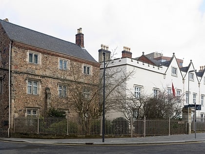
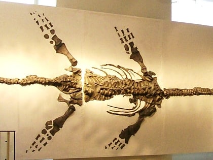
Nearby attractions include: Welford Road Stadium, Victoria Park, Newarke Houses Museum, Gas Museum.
Frequently Asked Questions (FAQ)
Which popular attractions are close to Aylestone Road?
Nearby attractions include Raw Dykes, Leicester (7 min walk), Welford Road Stadium, Leicester (7 min walk), Gas Museum, Leicester (10 min walk), Nelson Mandela Park, Leicester (11 min walk).
How to get to Aylestone Road by public transport?
The nearest stations to Aylestone Road:
Bus
Train
Bus
- St Nicholas Circle • Lines: 103, 104 (24 min walk)
- Haymarket Bus Station (30 min walk)
Train
- Leicester (24 min walk)

