Begbroke Science Park, Oxford
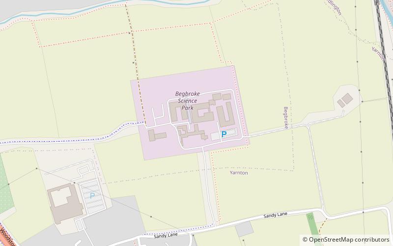
Map
Facts and practical information
Begbroke Science Park is a science park located five miles north of Oxford, England. It is owned by Oxford University and managed as part of the university's Mathematical, Physical and Life Sciences Division It lies within the parish of Begbroke, although it is only accessible from the village of Yarnton on the A44. ()
Address
Oxford
ContactAdd
Social media
Add
Day trips
Begbroke Science Park – popular in the area (distance from the attraction)
Nearby attractions include: Blenheim Palace, St Martin's Church, Godstow, Cutteslowe Park.
Frequently Asked Questions (FAQ)
How to get to Begbroke Science Park by public transport?
The nearest stations to Begbroke Science Park:
Bus
Bus
- Lyne Road Turn • Lines: 500, 7, S4 (21 min walk)
- The Moors Turn • Lines: 500, 7, S4 (22 min walk)
