Cutteslowe Park, Oxford
Map
Map

Facts and practical information
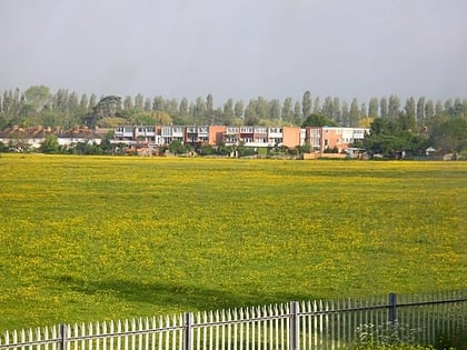
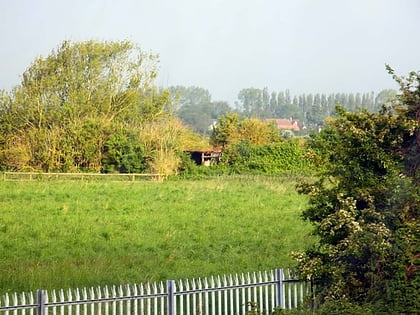
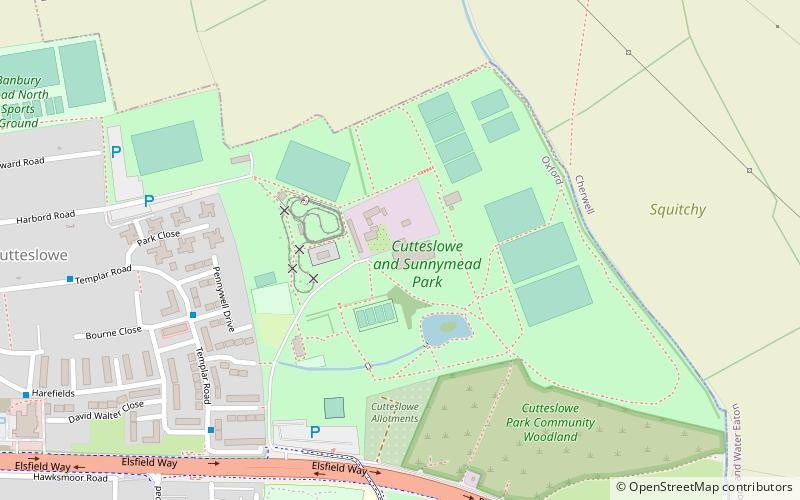
Cutteslowe Park is a public park in Cutteslowe in North Oxford, England. It was established in 1936 when Oxford City Council acquired land of the former Cutteslowe Manor farm, whose house still stands at its centre. More land was acquired in 1937 and 1938, including purchases from the Dean and Chaplain of Westminster. The original manor house dates from at least the mid-17th century, being shown on a 1670s map by Michael Burghers. ()
Elevation: 220 ft a.s.l.Coordinates: 51°47'28"N, 1°15'36"W
Address
WolvercoteOxford
ContactAdd
Social media
Add
Day trips
Cutteslowe Park – popular in the area (distance from the attraction)
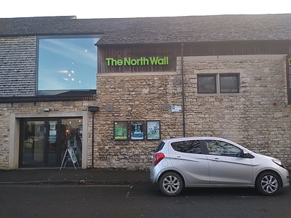
Nearby attractions include: Wolvercote Common, Wolvercote Cemetery, North Wall Arts Centre, Hook Meadow and The Trap Grounds.
Frequently Asked Questions (FAQ)
Which popular attractions are close to Cutteslowe Park?
Nearby attractions include Wolvercote Cemetery, Oxford (16 min walk), Lonsdale Road, Oxford (20 min walk), Summertown, Oxford (24 min walk).
How to get to Cutteslowe Park by public transport?
The nearest stations to Cutteslowe Park:
Train
Bus
Train
- Oxford Parkway (28 min walk)
Bus
- Cherwell School • Lines: 14A (29 min walk)
- Ferry Pool Road • Lines: 14A (30 min walk)

