St Nicholas' Church
#1564 among destinations in the United Kingdom
Facts and practical information
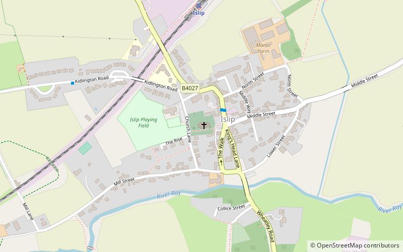
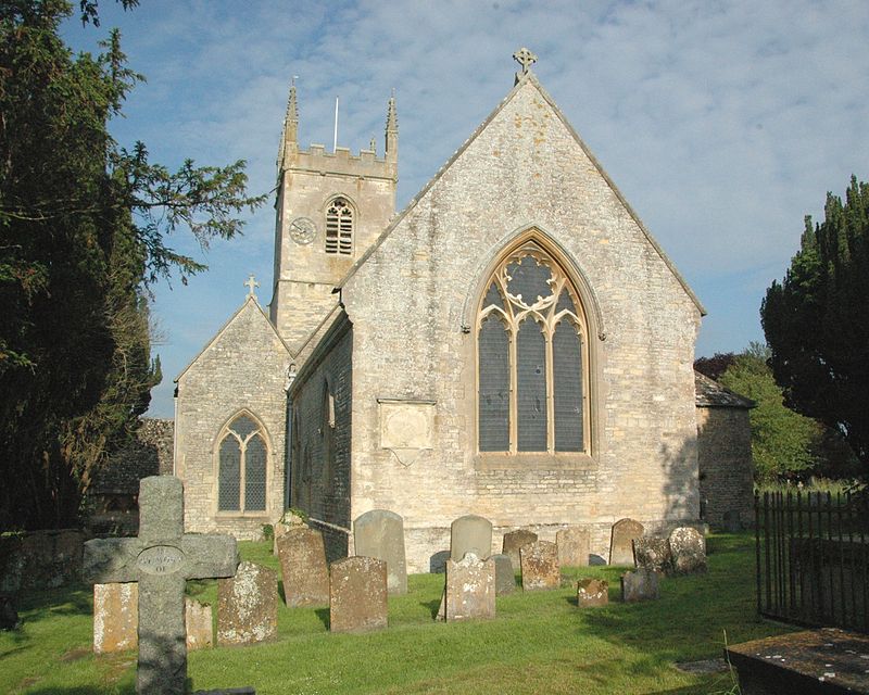
St Nicholas' Church, Islip is the Church of England parish church of Islip, Oxfordshire, a village about 3 miles east of Kidlington and 5 miles north of Oxford. ()
EnglandUnited Kingdom
St Nicholas' Church – popular in the area (distance from the attraction)
Nearby attractions include: Cutteslowe Park, Wolvercote Common, Wolvercote Cemetery, North Wall Arts Centre.
 Park
ParkCutteslowe Park, Oxford
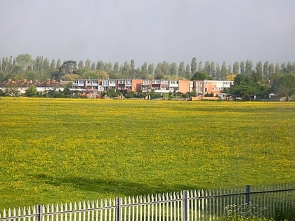
62 min walk • Cutteslowe Park is a public park in Cutteslowe in North Oxford, England. It was established in 1936 when Oxford City Council acquired land of the former Cutteslowe Manor farm, whose house still stands at its centre. More land was acquired in 1937 and 1938, including purchases from the Dean and Chaplain of Westminster.
 Park
ParkWolvercote Common, Oxford
83 min walk • Wolvercote Common is an area of grassed common land north of Port Meadow in Oxford, England.
 J. R. R. Tolkien, Cemetery
Wolvercote Cemetery, Oxford
68 min walk • Wolvercote Cemetery is a cemetery in the parish of Wolvercote and district of Cutteslowe in Oxford, England. Its main entrance is on Banbury Road and it has a side entrance in Five Mile Drive.
 Concerts and shows, Theater
North Wall Arts Centre, Oxford
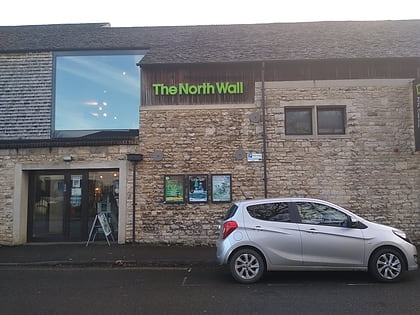
87 min walk • The North Wall Arts Centre is a performing arts centre in Oxford, owned by St Edward's School and shared with the city. It houses a 200-seat theatre, plus a rehearsal space, dance studio and a visual art gallery.
 Park
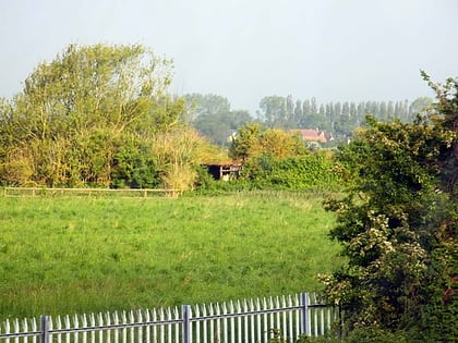
ParkHook Meadow and The Trap Grounds, Oxford
93 min walk • Hook Meadow and The Trap Grounds is a 11.9-hectare biological Site of Special Scientific Interest on the northern outskirts of Oxford in Oxfordshire.
 Nightlife
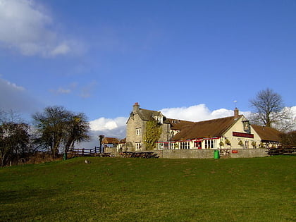
Victoria Arms, Oxford
82 min walk • The Victoria Arms is a pub on the eastern bank of the River Cherwell at the end of Mill Lane close to Old Marston, northeast of Oxford, England. There was once a ford across the Cherwell here, in use since the 12th century. An inn was originally constructed during the 17th century and was then rebuilt in 1840.
 Street, Shopping, Shopping district
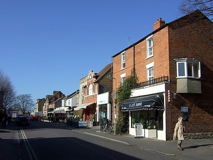
South Parade, Oxford
86 min walk • South Parade is a shopping street in Summertown, north Oxford, England. It runs between Woodstock Road to the west and Banbury Road to the east, where there are also shops stretching south from South Parade.
 Street
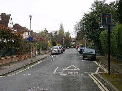
Lonsdale Road, Oxford
81 min walk • Lonsdale Road is a residential road in Summertown, north Oxford, England. The road runs between Banbury Road to the west and the River Cherwell to the east. To the south is Summer Fields School, a private preparatory school.
 Park
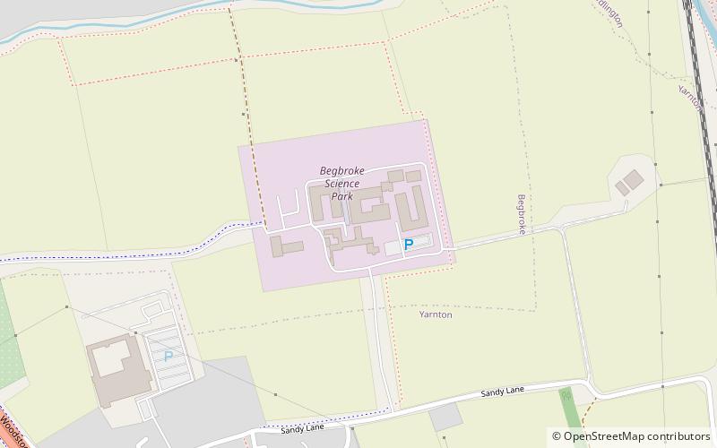
ParkBegbroke Science Park, Oxford
76 min walk • Begbroke Science Park is a science park located five miles north of Oxford, England. It is owned by Oxford University and managed as part of the university's Mathematical, Physical and Life Sciences Division It lies within the parish of Begbroke, although it is only accessible from the village of Yarnton on the A44.
 Church
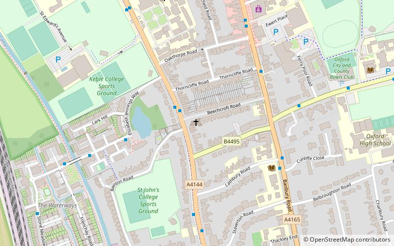
Woodstock Road Baptist Church, Oxford
92 min walk • Woodstock Road Baptist Church, located in Summertown, Oxford, UK is an evangelical church and is a member of the Fellowship of Independent Evangelical Churches.
 Street
Lathbury Road, Oxford
94 min walk • Lathbury Road is a short residential road in north Oxford, England. The road runs approximately east–west with a small curve halfway along.
