Bristol and Bath Railway Path, Bristol


Facts and practical information
Nestled between the historic cities of Bristol and Bath, the Bristol and Bath Railway Path offers a tranquil escape into the scenic beauty of the English countryside. This popular hiking trail is more than just a route for outdoor enthusiasts; it's a green artery that connects two vibrant urban centers while providing a haven for walkers, cyclists, and nature lovers.
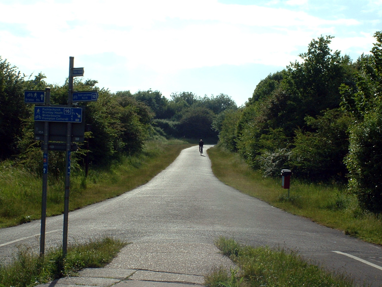
The path stretches for 13 miles, tracing the line of an old railway that once carried steam locomotives between the two cities. Today, it is a well-maintained trail that provides a safe and picturesque environment for recreational activities away from the hustle and bustle of city traffic.
As a testament to the industrial heritage of the region, the Bristol and Bath Railway Path features several restored railway stations and historic artifacts that hark back to the age of steam. The trail is flat and paved, making it accessible for users of all ages and abilities, including those with pushchairs or wheelchairs.
The journey along the path reveals a diverse landscape, from urban art installations and graffiti in Bristol's creative quarters to the rolling green fields and wooded valleys closer to Bath. The route is interspersed with picnic areas, benches, and cafes where hikers can rest and refuel.
Wildlife enthusiasts will appreciate the rich biodiversity along the path, with opportunities to spot birds, small mammals, and an array of plant life. The trail also serves as an important corridor for wildlife, connecting habitats and allowing for the movement of species between the two cities.
- Bus
- Train
- Ferry
 Bus
Bus
- Calculate routeWest Street 4 min walk
- Calculate routeEaston Road 5 min walk
- Calculate routeLamb Street 7 min walk
- Calculate routeOld Market Street 8 min walk
- Calculate routeLawrence Hill 13 min walk
- Calculate routeBristol Temple Meads 14 min walk
- Calculate routeStapleton Road 23 min walk
- Calculate routeMontpelier 27 min walk
- Calculate routeCity Centre 26 min walk
- Calculate routePrince Street Bridge 28 min walk
- Calculate routeMillennium Square 30 min walk


Frequently Asked Questions (FAQ)
Which popular attractions are close to Bristol and Bath Railway Path?
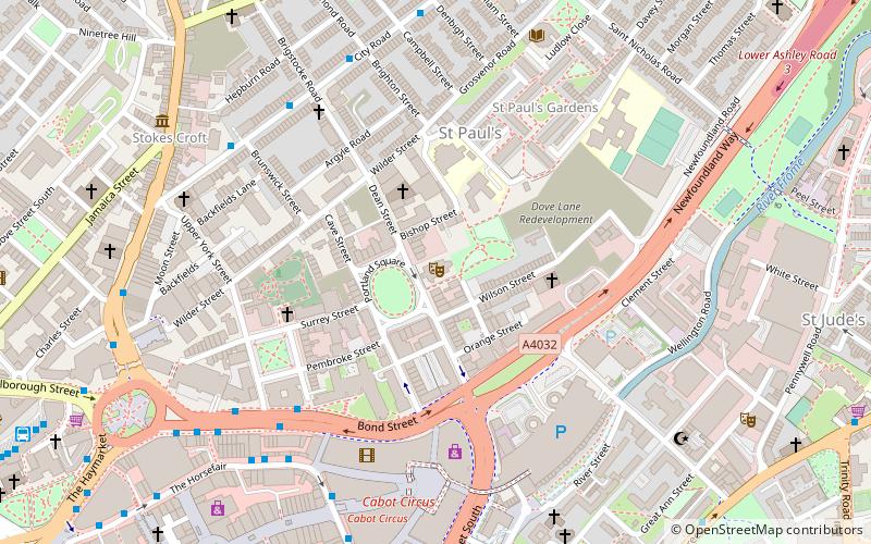
How to get to Bristol and Bath Railway Path by public transport?
Bus
- West Street • Lines: 43 (4 min walk)
- Easton Road • Lines: 43 (5 min walk)
Train
- Lawrence Hill (13 min walk)
- Bristol Temple Meads (14 min walk)
Ferry
- City Centre • Lines: Hotwells-Centre (26 min walk)
- Prince Street Bridge • Lines: Hotwells-Centre (28 min walk)