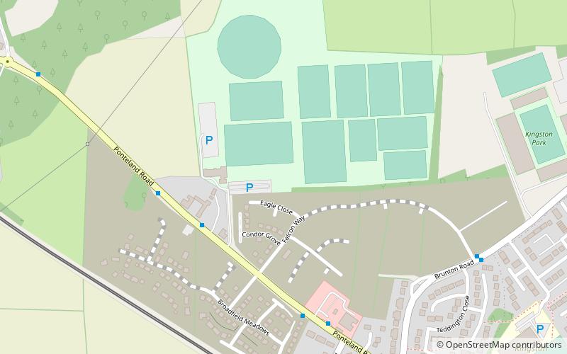
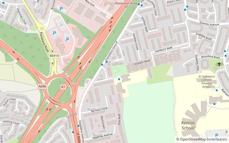
Bullocksteads Sports Ground, Newcastle upon Tyne
Map
Facts and practical information
Bullocksteads Sports Ground is a rugby and football facility in Newcastle upon Tyne, England. It is situated next to the Kingston Park stadium. ()
Coordinates: 55°1'5"N, 1°40'48"W
Address
WoolsingtonNewcastle upon Tyne
ContactAdd
Social media
Add
Getting there by public transportation
Public transportation stops near this location
- Bus
- Light rail
 Bus
Bus
- Calculate routeBank Foot 8 min walk
- Calculate routeKingston Park 16 min walk
- Calculate routeCallerton Parkway 30 min walk
- Calculate routeWindsor Way-Brunton Road-S/B 11 min walk
- Calculate routeBrunton Road-Esher Court-Sw/B 13 min walk
- Calculate routeKingston Park 13 min walk
Day trips


Frequently Asked Questions (FAQ)
How to get to Bullocksteads Sports Ground by public transport?
The nearest stations to Bullocksteads Sports Ground:
Light rail
Bus
Light rail
- Bank Foot • Lines: Green (8 min walk)
- Kingston Park • Lines: Green (16 min walk)
Bus
- Windsor Way-Brunton Road-S/B • Lines: X47 (11 min walk)
- Brunton Road-Esher Court-Sw/B • Lines: X47 (13 min walk)