Kenton Bar, Newcastle upon Tyne
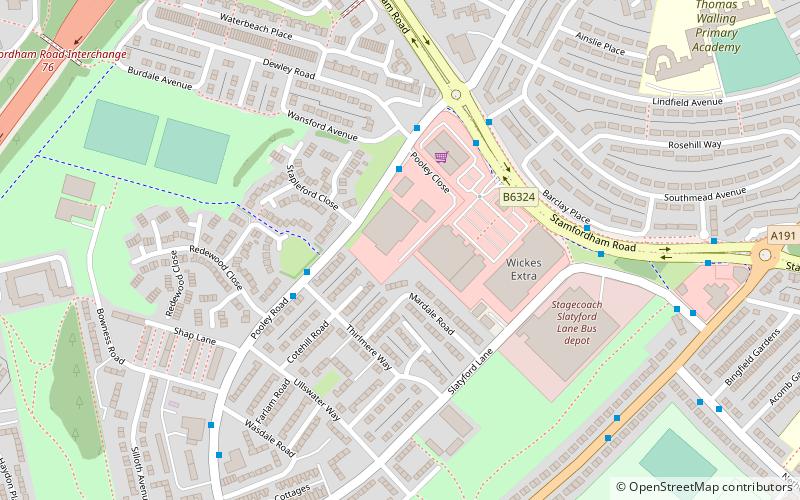
Map
Facts and practical information
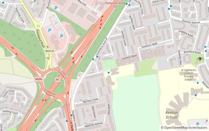
Kenton Bar is a housing estate, that is part of Kenton Ward in Newcastle upon Tyne, England. It is situated immediately west of North Kenton and to the north of Cragston Park and Cowgate. ()
Coordinates: 55°0'23"N, 1°39'53"W
Address
KentonNewcastle upon Tyne
ContactAdd
Social media
Add
Getting there by public transportation
Public transportation stops near this location
- Bus
- Light rail
 Bus
Bus
- Calculate routeKenton Bar 9 min walk
- Calculate routeTudor Way 10 min walk
- Calculate routeKingston Park 15 min walk
- Calculate routeBank Foot 19 min walk
- Calculate routeFawdon 25 min walk
- Calculate routeWansbeck Road 33 min walk
Day trips


Frequently Asked Questions (FAQ)
How to get to Kenton Bar by public transport?
The nearest stations to Kenton Bar:
Bus
Light rail
Bus
- Kenton Bar • Lines: 32, X47 (9 min walk)
- Tudor Way • Lines: X47 (10 min walk)
Light rail
- Kingston Park • Lines: Green (15 min walk)
- Bank Foot • Lines: Green (19 min walk)