Burton-on-Trent CC Ground, Burton upon Trent
Map
Facts and practical information
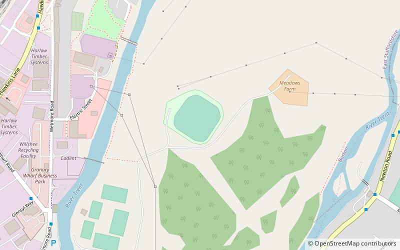
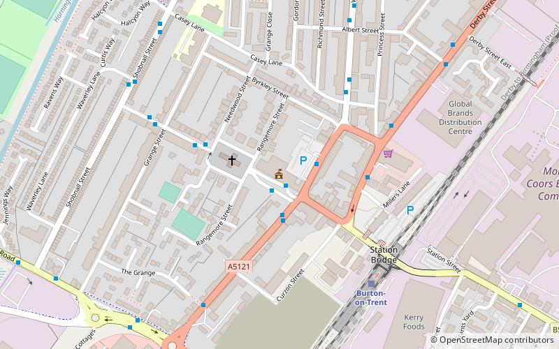
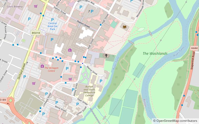
Burton-on-Trent Cricket Club Ground is a cricket ground in Burton, England used by Derbyshire CCC for 13 first-class matches between 1914 and 1937. The ground also hosted two ICC Trophy matches - Canada v Hong Kong in 1982 and East Africa v Malaysia in 1986. ()
Coordinates: 52°48'54"N, 1°37'7"W
Address
Burton upon Trent
ContactAdd
Social media
Add
Getting there by public transportation
Public transportation stops near this location
- Bus
- Train
 Bus
Bus
- Calculate routeWharf Road 9 min walk
- Calculate routeHighlands Drive 9 min walk
- Calculate routeWetmore Road 9 min walk
- Calculate routeMill Hill Lane 9 min walk
- Calculate routeBurton-on-Trent 31 min walk
Day trips


Frequently Asked Questions (FAQ)
Which popular attractions are close to Burton-on-Trent CC Ground?
Nearby attractions include St Mark's, Burton upon Trent (19 min walk), St Chad's, Burton upon Trent (20 min walk), National Brewery Centre, Burton upon Trent (20 min walk), Bladon Castle, Burton upon Trent (24 min walk).
How to get to Burton-on-Trent CC Ground by public transport?
The nearest stations to Burton-on-Trent CC Ground:
Bus
Train
Bus
- Wharf Road • Lines: 17, V1 (9 min walk)
- Highlands Drive • Lines: 18, V3 (9 min walk)
Train
- Burton-on-Trent (31 min walk)