Stapenhill Gardens, Burton upon Trent
Map

Gallery

Facts and practical information
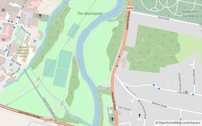
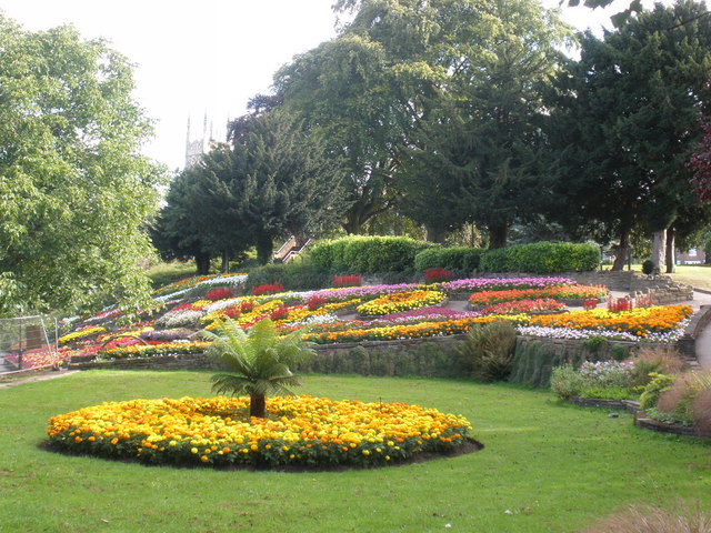
Stapenhill Gardens is a park in the Stapenhill neighbourhood of Burton-on-Trent, in England. It mainly comprises the former site of Stapenhill House, which was donated to the town in 1933, woodland, lawn, wild flower meadows and formal planted areas along a 1,250-metre stretch of the River Trent. A public space, it includes a large cement-rendered sculpture of a swan that has been described as a "Burton landmark". ()
Elevation: 164 ft a.s.l.Coordinates: 52°47'56"N, 1°37'26"W
Address
Burton upon Trent
ContactAdd
Social media
Add
Day trips
Stapenhill Gardens – popular in the area (distance from the attraction)
Nearby attractions include: Coopers Square Shopping Centre, St Peter's Bridge, Burton Town Hall, National Brewery Centre.
Frequently Asked Questions (FAQ)
Which popular attractions are close to Stapenhill Gardens?
Nearby attractions include Stapenhill, Burton upon Trent (7 min walk), St Modwen's, Burton upon Trent (7 min walk), St Peter's Bridge, Burton upon Trent (7 min walk), Burton and South Derbyshire College, Burton upon Trent (8 min walk).
How to get to Stapenhill Gardens by public transport?
The nearest stations to Stapenhill Gardens:
Bus
Train
Bus
- Clay Street • Lines: 18 (2 min walk)
- Lyndham Avenue • Lines: 18 (6 min walk)
Train
- Burton-on-Trent (24 min walk)


