St Mark's, Burton upon Trent
Map

Map

Facts and practical information
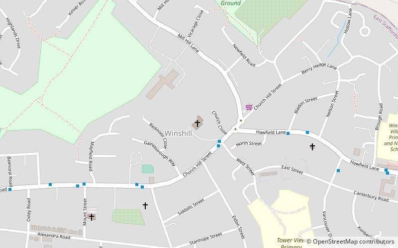
St Mark's is the Church of England parish church for the Burton upon Trent suburb of Winshill, east of the town. It is part of the Diocese of Derby. ()
Coordinates: 52°48'30"N, 1°36'17"W
Day trips
St Mark's – popular in the area (distance from the attraction)
Nearby attractions include: Coopers Square Shopping Centre, St Peter's Bridge, National Brewery Centre, Winshill Water Tower.
Frequently Asked Questions (FAQ)
How to get to St Mark's by public transport?
The nearest stations to St Mark's:
Bus
Bus
- St Mark's Church • Lines: 3, 8, 9 (2 min walk)
- High Bank Road • Lines: 3, 8, 9 (4 min walk)


