Carrickfergus Sailing Club, Carrickfergus

Map
Facts and practical information
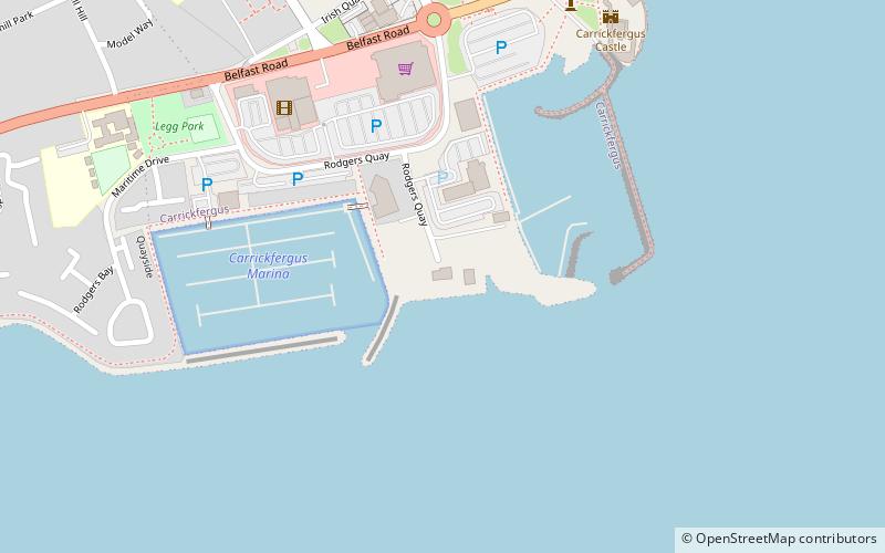
Carrickfergus Sailing Club is located in Carrickfergus, Northern Ireland on the north shore of Belfast Lough. The club was founded in 1866. The clubhouse moved from the building on stilts beside Carrickfergus Harbour to its current location beside Carrickfergus Marina in 1984. ()
Coordinates: 54°42'38"N, 5°48'35"W
Address
Carrickfergus
ContactAdd
Social media
Add
Day trips
Carrickfergus Sailing Club – popular in the area (distance from the attraction)
Nearby attractions include: Carrickfergus Castle, Carrickfergus Town Hall, Carrickfergus Waterfront, Friends of The Andrew Jackson Centre.
Frequently Asked Questions (FAQ)
Which popular attractions are close to Carrickfergus Sailing Club?
Nearby attractions include Carrickfergus Castle, Carrickfergus (7 min walk), FLAME - Gasworks Museum, Carrickfergus (8 min walk), Carrickfergus Waterfront, Carrickfergus (8 min walk), Carrickfergus Town Hall, Carrickfergus (11 min walk).


