Taylors Avenue, Carrickfergus
Map

Map

Facts and practical information
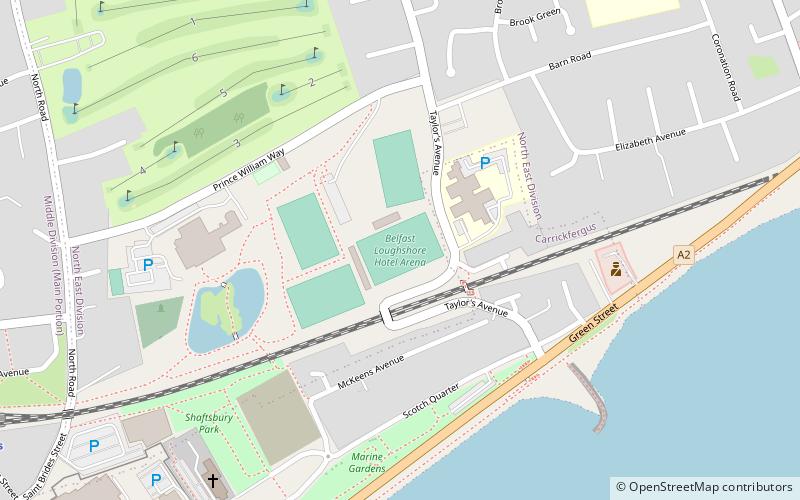
Taylors Avenue is a football stadium in Carrickfergus, County Antrim, Northern Ireland. It is the home stadium of local football team Carrick Rangers F.C. Taylors Avenue has a capacity of 6,000. There are two covered stands, with the rest of the ground made up of open terracing. ()
Coordinates: 54°43'11"N, 5°48'1"W
Address
Carrickfergus
ContactAdd
Social media
Add
Day trips
Taylors Avenue – popular in the area (distance from the attraction)
Nearby attractions include: Carrickfergus Castle, Carrickfergus Town Hall, Carrickfergus Waterfront, Friends of The Andrew Jackson Centre.
Frequently Asked Questions (FAQ)
Which popular attractions are close to Taylors Avenue?
Nearby attractions include Carrickfergus Town Hall, Carrickfergus (9 min walk), Carrickfergus Castle, Carrickfergus (13 min walk), FLAME - Gasworks Museum, Carrickfergus (15 min walk), Friends of The Andrew Jackson Centre, Carrickfergus (19 min walk).


