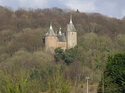
Castell Coch, Cardiff
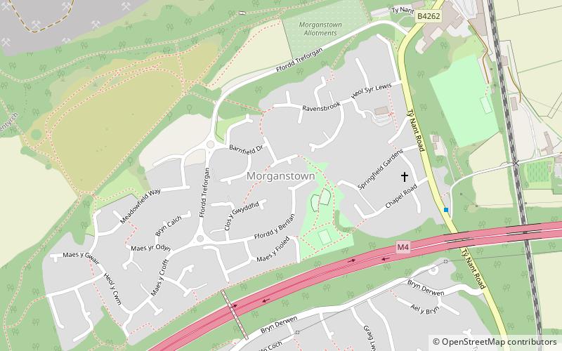
Map
Map

Facts and practical information
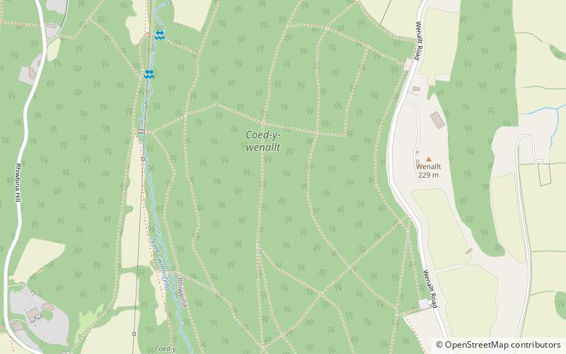
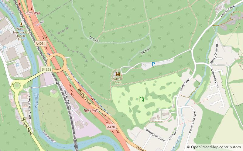
Castell Coch Woodlands and Road Section is a Site of Special Scientific Interest to the north of Cardiff, Wales, significant for both its biological and geological interest. ()
Coordinates: 51°32'9"N, 3°15'16"W
Address
Gogledd Caerdydd (Yr Eglwys Newydd a Togwynlais)Cardiff
ContactAdd
Social media
Add
Day trips
Castell Coch – popular in the area (distance from the attraction)
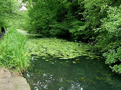
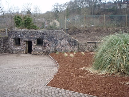
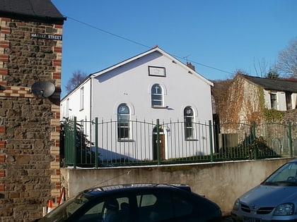
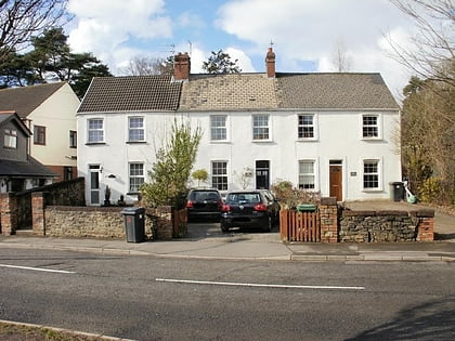
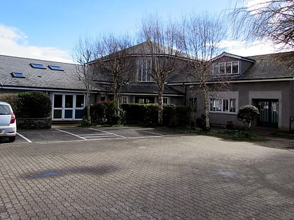
Nearby attractions include: Castell Coch, Glamorganshire Canal local nature reserve, Taff's Well Thermal Spring, Ainon Baptist Church.
Frequently Asked Questions (FAQ)
Which popular attractions are close to Castell Coch?
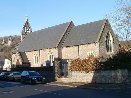
Nearby attractions include Castell Coch, Cardiff (1 min walk), Ainon Baptist Church, Cardiff (7 min walk), St David's Church, Cardiff (7 min walk), St Michael and All Angels Church, Cardiff (8 min walk).
How to get to Castell Coch by public transport?
The nearest stations to Castell Coch:
Train
Train
- Taffs Well (14 min walk)
- Coryton (37 min walk)
