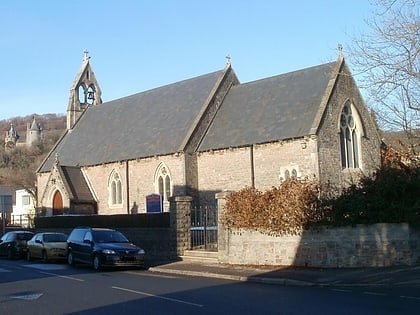
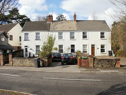
Morganstown, Cardiff
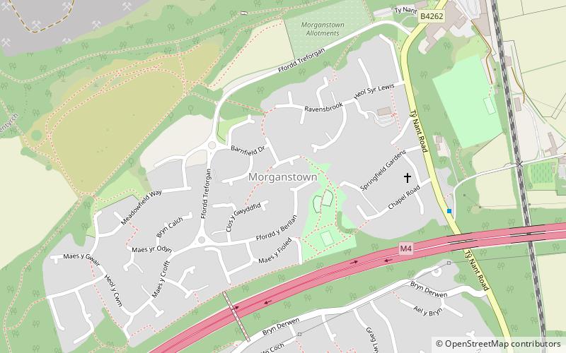
Map
Facts and practical information
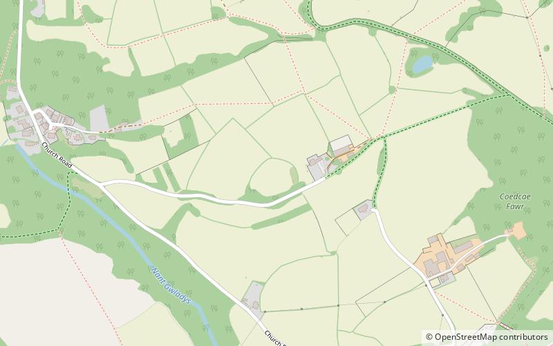
Morganstown is a part of the community of Radyr and Morganstown in the north of Cardiff, just over 5 miles northwest of Cardiff city centre and separated from Radyr to the south by the M4 motorway. It elects four councillors to the Radyr and Morganstown community council. ()
Coordinates: 51°31'36"N, 3°15'48"W
Day trips
Morganstown – popular in the area (distance from the attraction)
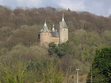
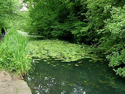
Nearby attractions include: Castell Coch, Radyr Golf Club, Castell Coch, Glamorganshire Canal local nature reserve.
Frequently Asked Questions (FAQ)
Which popular attractions are close to Morganstown?
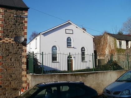
Nearby attractions include Ainon Baptist Church, Cardiff (16 min walk), St David's Church, Cardiff (16 min walk), St Michael and All Angels Church, Cardiff (17 min walk), Radyr, Cardiff (19 min walk).
How to get to Morganstown by public transport?
The nearest stations to Morganstown:
Train
Train
- Radyr (24 min walk)
- Taffs Well (26 min walk)


