Glamorganshire Canal local nature reserve, Cardiff
Map
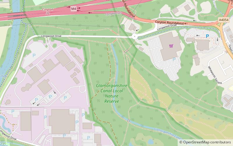
Map

Facts and practical information
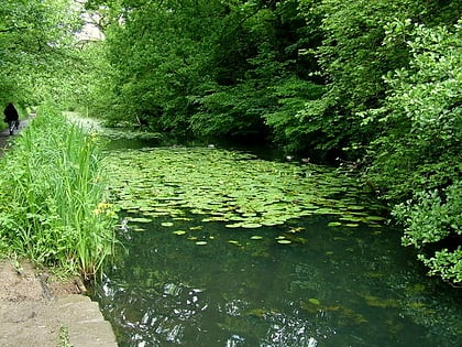
The Glamorganshire Canal local nature reserve is a nature reserve in Whitchurch, Cardiff, Wales. Formed in 1967, it comprises a disused section of the Glamorganshire Canal, the Long Wood and an area of the flood plain of the River Taff. The reserve is also known as Forest Farm, and the old farm buildings are used to support the reserve. ()
Elevation: 135 ft a.s.l.Coordinates: 51°31'23"N, 3°14'45"W
Address
Gogledd Caerdydd (Yr Eglwys Newydd a Togwynlais)Cardiff
ContactAdd
Social media
Add
Day trips
Glamorganshire Canal local nature reserve – popular in the area (distance from the attraction)
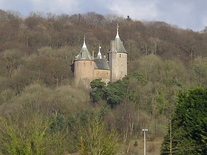
Nearby attractions include: Castell Coch, Radyr Golf Club, Castell Coch, Twmpath Castle.
Frequently Asked Questions (FAQ)
Which popular attractions are close to Glamorganshire Canal local nature reserve?
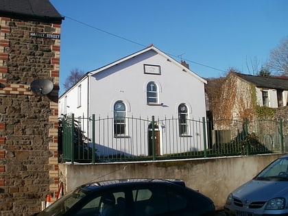
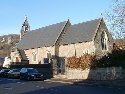
Nearby attractions include Coryton, Cardiff (13 min walk), St Michael and All Angels Church, Cardiff (17 min walk), Ainon Baptist Church, Cardiff (18 min walk), St David's Church, Cardiff (18 min walk).
How to get to Glamorganshire Canal local nature reserve by public transport?
The nearest stations to Glamorganshire Canal local nature reserve:
Train
Train
- Radyr (12 min walk)
- Coryton (17 min walk)
