Centre for Missional Leadership, Watford
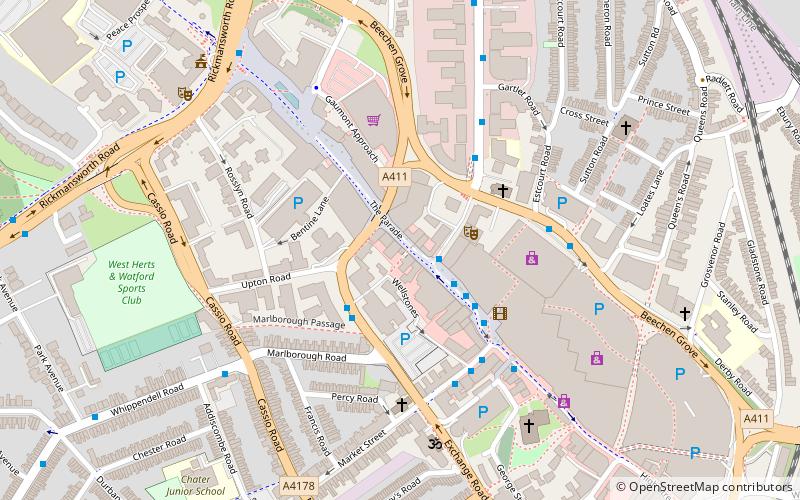
Map
Facts and practical information
The Centre for Missional Leadership was a theological centre specialising in applied theology. It was based in Watford, 20 miles northwest of central London, England. CML taught applied theology with the aim of equipping Christians for practical evangelism. Located on the Watford High Street, CML was an urban centre for Christian learning in the fields of applied theology and Christian mission. The centre trained Christians for ministries that are both in and outside the church. Many non-church ministries were also developed. ()
Coordinates: 51°39'25"N, 0°23'55"W
Getting there by public transportation
Public transportation stops near this location
- Metro
- Bus
- Train
 Metro
Metro
- Calculate routeExchange Road 2 min walk
- Calculate routeClarendon Road 4 min walk
- Calculate routeMarket Street 4 min walk
- Calculate routeWatford High Street 11 min walk
- Calculate routeWatford Junction 13 min walk
- Calculate routeBushey 25 min walk
- Calculate routeCassiobury Park Station 30 min walk
- Calculate routeWatford 22 min walk
Day trips
Centre for Missional Leadership – popular in the area (distance from the attraction)
Nearby attractions include: Atria Watford Shopping Centre, Vicarage Road, Cassiobury Park, Watford Colosseum.


Frequently Asked Questions (FAQ)
Which popular attractions are close to Centre for Missional Leadership?
Nearby attractions include Watford Palace Theatre, Watford (2 min walk), Holy Rood Church, Watford (4 min walk), St Mary's Church, Watford (6 min walk), St John's Church, Watford (7 min walk).
How to get to Centre for Missional Leadership by public transport?
The nearest stations to Centre for Missional Leadership:
Bus
Train
Metro
Bus
- Exchange Road • Lines: 306, R2 (2 min walk)
- Clarendon Road • Lines: 142, 258, 724, 8 (4 min walk)
Train
- Watford High Street (11 min walk)
- Watford Junction (13 min walk)
Metro
- Watford • Lines: Metropolitan (22 min walk)