Cheam Road, London
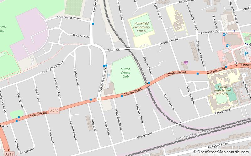
Map
Facts and practical information
Coordinates: 51°21'39"N, 0°12'15"W
Address
Sutton (Sutton West)London
ContactAdd
Social media
Add
Getting there by public transportation
Public transportation stops near this location
- Bus
- Train
 Bus
Bus
- Calculate routeHail & Ride Sutton Cricket Club 2 min walk
- Calculate routeWestern Road 2 min walk
- Calculate routeCheam Road / Gander Green Lane 3 min walk
- Calculate routeWest Sutton 10 min walk
- Calculate routeCheam 15 min walk
- Calculate routeSutton 15 min walk
- Calculate routeSutton Common 28 min walk
Maps Tube
Tube
TubeDay trips


Frequently Asked Questions (FAQ)
Which popular attractions are close to Cheam Road?
Nearby attractions include Darland's Lake Nature Reserve, London (4 min walk), Cheam, London (7 min walk), Secombe Theatre, Banstead (8 min walk), Sutton Civic Offices, Banstead (11 min walk).
How to get to Cheam Road by public transport?
The nearest stations to Cheam Road:
Bus
Train
Bus
- Hail & Ride Sutton Cricket Club • Lines: 413 (2 min walk)
- Western Road • Lines: 151, 213, 413, 613, 627 (2 min walk)
Train
- West Sutton (10 min walk)
- Cheam (15 min walk)