London/Westminster, London
Map
Gallery
Facts and practical information
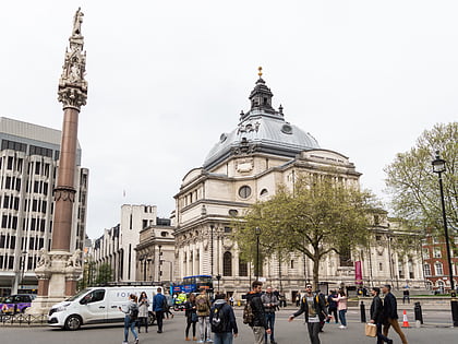
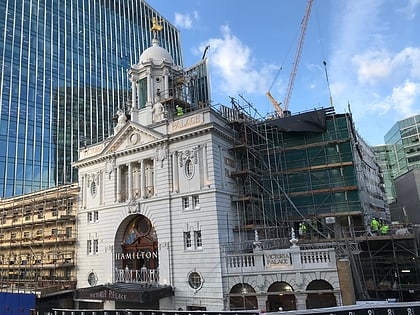
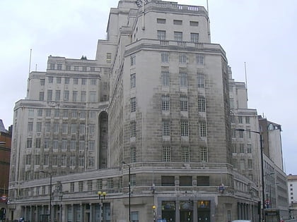
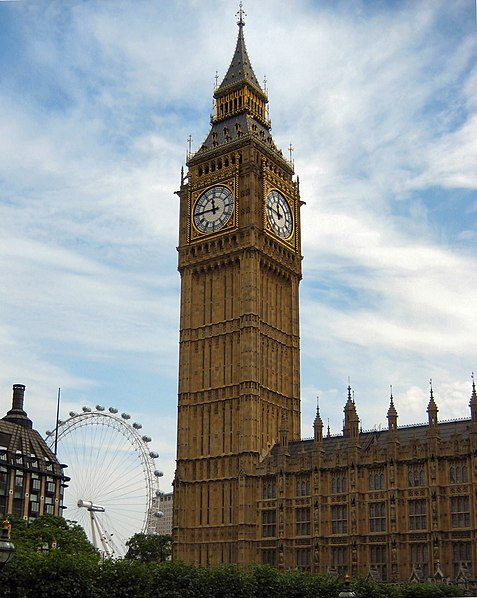
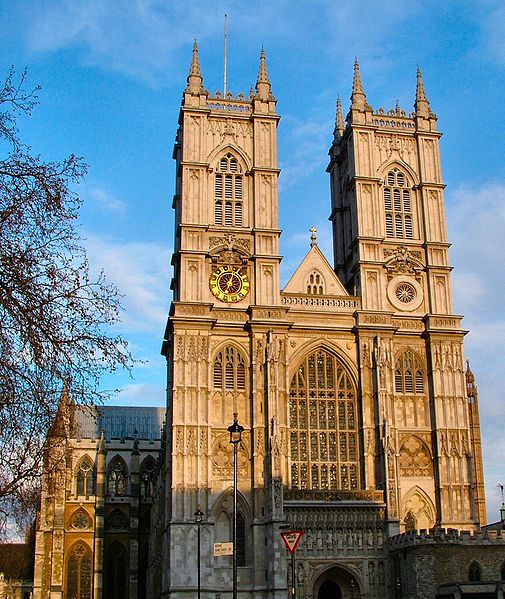
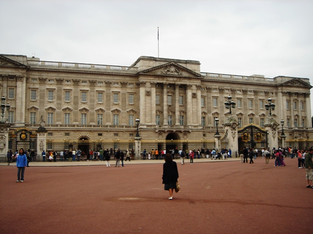
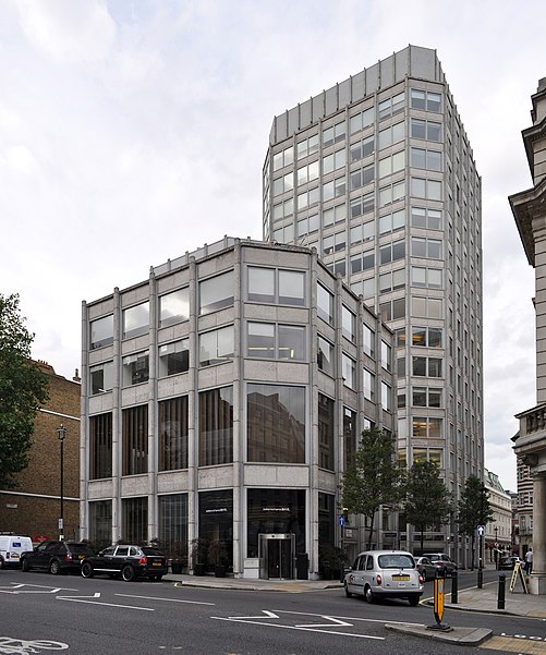
The City of Westminster is a city and borough in Inner London which forms a core part of Central London. It is the site of the United Kingdom's Houses of Parliament and much of the British government. It occupies a large area of central Greater London, including most of the West End. Many London landmarks are within the borough, including Buckingham Palace, Westminster Abbey, Whitehall, 10 Downing Street, and Trafalgar Square. ()
Day trips
London/Westminster – popular in the area (distance from the attraction)
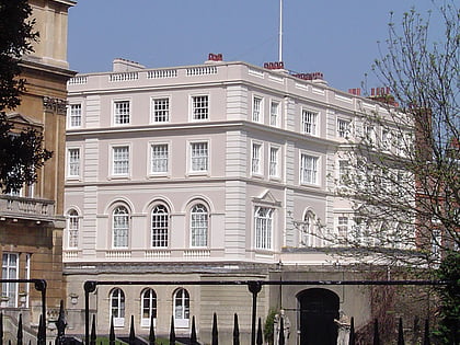
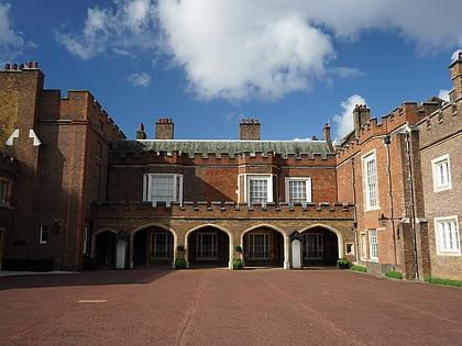
Nearby attractions include: Buckingham Palace, St. James's Park, Westminster Cathedral, Clarence House.
Frequently Asked Questions (FAQ)
Which popular attractions are close to London/Westminster?
Nearby attractions include The Guards Museum, London (2 min walk), Flanders Fields Memorial Garden, London (2 min walk), Guards Chapel, London (3 min walk), Westminster Chapel, London (3 min walk).
How to get to London/Westminster by public transport?
The nearest stations to London/Westminster:
Bus
Metro
Train
Ferry
Bus
- Buckingham Palace Road / Bressenden Place • Lines: 38, N38 (9 min walk)
- Victoria Station • Lines: 13, 16, 170, 185, 2, 36, 44, A6, C10, N136, N16, N2, N44 (11 min walk)
Metro
- Victoria • Lines: Circle, District, Victoria (10 min walk)
- Green Park • Lines: Jubilee, Piccadilly, Victoria (13 min walk)
Train
- London Victoria (13 min walk)
- Charing Cross (20 min walk)
Ferry
- Westminster Pier • Lines: Blue Tour, Green Tour, Rb1, Rb1X, Rb2, Red Tour (16 min walk)
- London Eye - Waterloo Pier • Lines: Rb1, Rb1X, Rb2, Red Tour (20 min walk)



 Tube
Tube


