Colindale, London
Map

Gallery

Facts and practical information
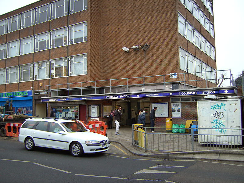
Colindale is a district in the London Borough of Barnet; its main shopping street on the A5 forming the borough boundary with neighbouring Brent. Colindale is a suburban area, and in recent years has had many new apartments built. It's also the location of the 1960s-1970s Grahame Park housing estate, built on former parts of Hendon Aerodrome. It is situated about eight miles northwest of Charing Cross, directly northwest of Hendon, to the south of Edgware and east of Queensbury. ()
Coordinates: 51°35'35"N, 0°14'52"W
Address
Barnet (Colindale)London
ContactAdd
Social media
Add
Day trips
Colindale – popular in the area (distance from the attraction)
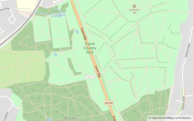
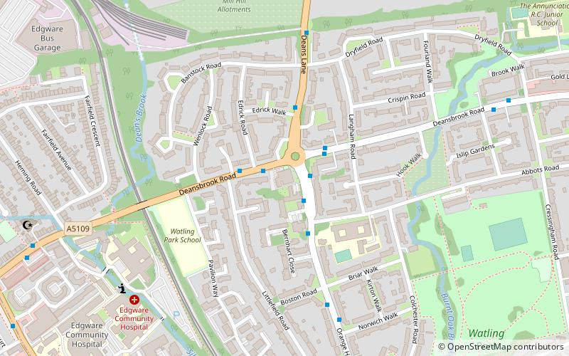
Nearby attractions include: RAF Museum, Allianz Park, Fryent Country Park, Watling Park.
Frequently Asked Questions (FAQ)
Which popular attractions are close to Colindale?
Nearby attractions include St Matthias the Apostle church, London (13 min walk), RAF Museum, London (14 min walk), Copthall South Fields, London (23 min walk).
How to get to Colindale by public transport?
The nearest stations to Colindale:
Bus
Metro
Train
Bus
- Hail & Ride The Loning • Lines: 324 (4 min walk)
- Peel Centre • Lines: 125, 186 (6 min walk)
Metro
- Colindale • Lines: Northern (5 min walk)
- Burnt Oak • Lines: Northern (25 min walk)
Train
- Hendon (25 min walk)

 Tube
Tube


