Dewerstone, Dartmoor National Park

Map
Facts and practical information
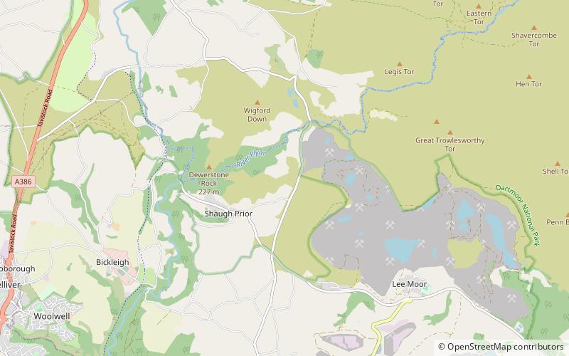
Dewerstone is the site of an Iron Age Hill fort on a rocky promontory overlooking the River Plym on the South West edge of Dartmoor to the North of Plympton in Devon. The fort consists of ramparts to the Northern side of the promontory at approx 210 Metres above Sea Level. ()
Coordinates: 50°27'18"N, 4°2'35"W
Address
Dartmoor National Park
ContactAdd
Social media
Add
Day trips
Dewerstone – popular in the area (distance from the attraction)
Nearby attractions include: Buckland Abbey, Dartmoor Zoological Park, Burrator Reservoir, Plymouth City Museum and Art Gallery.


