Drumcree Church

Gallery (1)
Map
Map
Facts and practical information
Drumcree Parish Church, officially The Church of the Ascension, is the Church of Ireland parish church of Drumcree in County Armagh, Northern Ireland. It sits on a hill in the townland of Drumcree, outside Portadown. It is a site of historic significance and is a listed building. ()
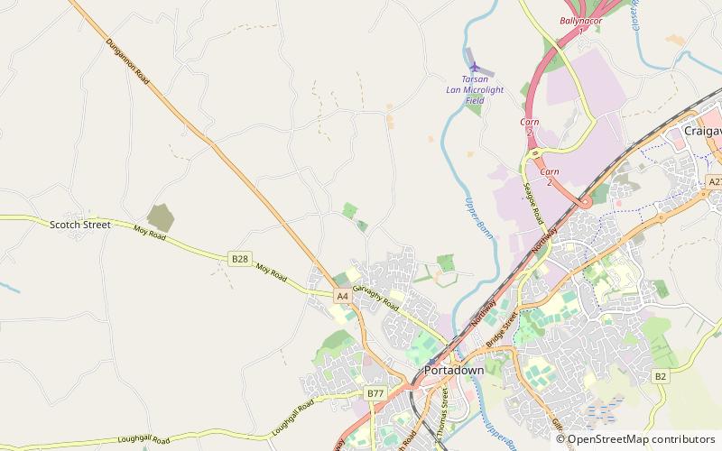
Coordinates: 54°26'25"N, 6°27'32"W
Day trips


