Brownlow Community Hub, Craigavon

Gallery (1)
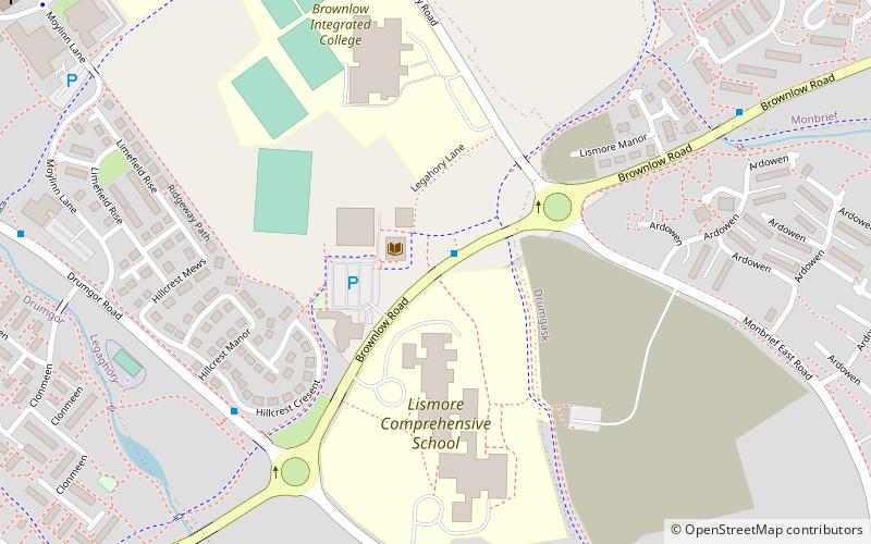
Map
Map
Facts and practical information
Brownlow Community Hub (address: 7 Brownlow Road) is a place located in Craigavon (Northern Ireland province) and belongs to the category of bridge.
It is situated at an altitude of 167 feet, and its geographical coordinates are 54°26'46"N latitude and 6°21'45"W longitude.
Among other places and attractions worth visiting in the area are: Pollock Park, Lurgan (sport venue, 30 min walk), Mourneview Park, Lurgan (sport venue, 31 min walk), Brownlow House, Lurgan (architecture, 49 min walk).
Coordinates: 54°26'46"N, 6°21'45"W
Address
7 Brownlow RoadCraigavon
ContactAdd
Social media
Add
Day trips


