Maghery Country Park
Map

Map

Facts and practical information
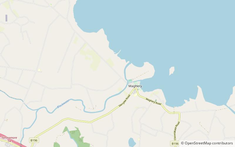
Maghery Country Park is a park in the village of Maghery, County Armagh, Northern Ireland, on the shores of Lough Neagh. It covers 30 acres and includes five km of woodland walks and picnic areas and is used for birdwatching, fishing, and walking. Coney Island lies one km off shore and boat trips are available from the park at weekends. It is an important local amenity and tourist attraction and is managed by Armagh City, Banbridge and Craigavon Borough Council. ()
Elevation: 46 ft a.s.l.Coordinates: 54°30'58"N, 6°34'59"W
Location
Northern Ireland
ContactAdd
Social media
Add
Day trips
Maghery Country Park – popular in the area (distance from the attraction)
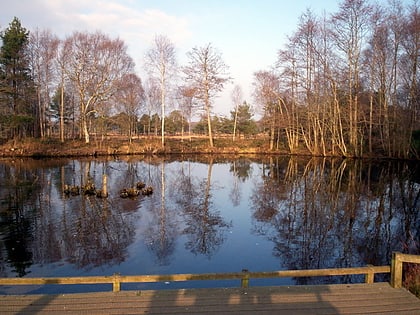
Nearby attractions include: Drumcree Church, Peatlands Park, Mountjoy Castle, Charlemont Bridge.


