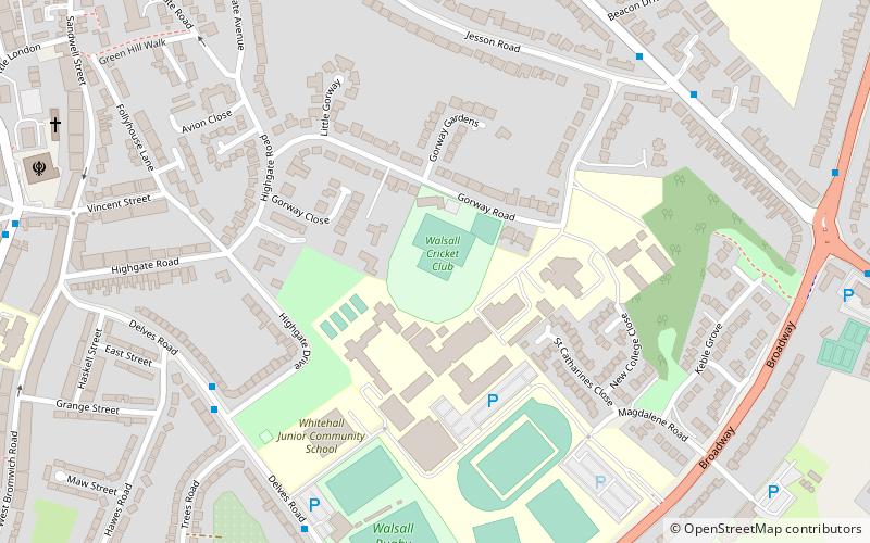
Gorway Ground, Walsall
Map
Facts and practical information
Gorway Ground is a cricket ground in Walsall, Staffordshire. The first recorded match on the ground was in 1889, when Walsall Cricket Club played Wednesbury. The first Minor Counties Championship match was held at the ground in 1912 and saw Staffordshire played Durham. Staffordshire used the ground during a number of periods in the 20th century, using the ground for home matches up to 2007. During this time, the ground hosted 27 Minor Counties Championship matches and 5 MCCA Knockout Trophy matches. ()
Coordinates: 52°34'22"N, 1°58'15"W
Address
Walsall (St. Matthew's)Walsall
ContactAdd
Social media
Add
Getting there by public transportation
Public transportation stops near this location
- Bus
- Train
 Bus
Bus
- Calculate routeWednesbury Rd / Walsall Almshouses 20 min walk
- Calculate routeAblewell St / Watering Trough 20 min walk
- Calculate routeWednesbury Rd / Corporation St 21 min walk
- Calculate routeWalsall 26 min walk
- Calculate routeBescot Stadium 28 min walk
Day trips


Frequently Asked Questions (FAQ)
Which popular attractions are close to Gorway Ground?
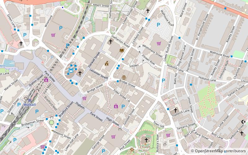
Nearby attractions include St Gabriel's Church, Walsall (14 min walk), Caldmore, Walsall (15 min walk), St Mary & All Saints, Walsall (17 min walk), St Matthew's Centre, Walsall (18 min walk).
How to get to Gorway Ground by public transport?
The nearest stations to Gorway Ground:
Bus
Train
Bus
- Wednesbury Rd / Walsall Almshouses • Lines: 334, 34, 700 (20 min walk)
- Ablewell St / Watering Trough • Lines: 700 (20 min walk)
Train
- Walsall (26 min walk)
- Bescot Stadium (28 min walk)