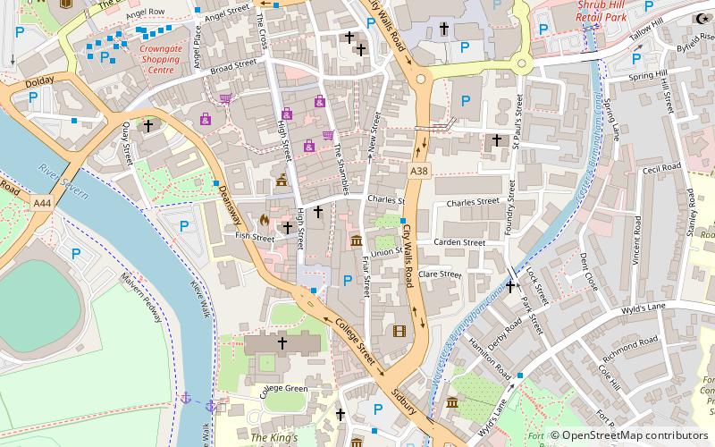
Greyfriars, Worcester
Map

Map

Facts and practical information
Greyfriars, Worcester is a Grade I listed building in Worcester, England. Its location near to a former friary of the Franciscan order of Greyfriars has in the past led to speculation that it was constructed as their guest house, but it is now believed to have been built as a house and brew-house c.1485 for Thomas Grene, brewer and High Bailiff of Worcester from 1493-1497. It has been in the ownership of the National Trust since 1966. ()
Coordinates: 52°11'26"N, 2°13'8"W
Day trips
Greyfriars – popular in the area (distance from the attraction)
Nearby attractions include: Crowngate Shopping Centre, Worcester Cathedral, Worcester Racecourse, Worcester Guildhall.
Frequently Asked Questions (FAQ)
Which popular attractions are close to Greyfriars?
Nearby attractions include Worcester Guildhall, Worcester (3 min walk), Worcester city walls, Worcester (3 min walk), Worcester Cathedral, Worcester (4 min walk), St Swithun's Church, Worcester (4 min walk).
How to get to Greyfriars by public transport?
The nearest stations to Greyfriars:
Bus
Train
Bus
- City Walls Road • Lines: 32, 32B, 332, 44, S44, X44 (2 min walk)
- Cathedral • Lines: 32, 32B, 332, 44 (3 min walk)
Train
- Worcester Foregate Street (9 min walk)
- Worcester Shrub Hill (14 min walk)


