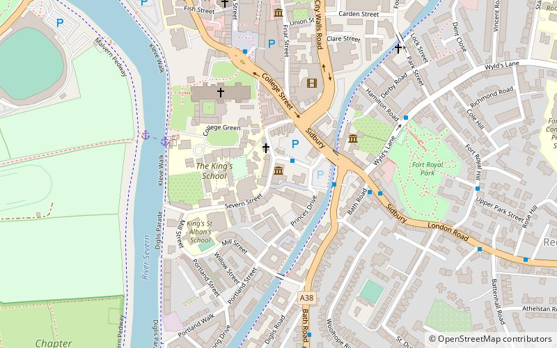
Museum of Royal Worcester, Worcester
Map

Map

Facts and practical information
The Museum of Royal Worcester is a ceramics museum located in the Royal Worcester porcelain factory's former site in Worcester, England. ()
Coordinates: 52°11'14"N, 2°13'9"W
Day trips
Museum of Royal Worcester – popular in the area (distance from the attraction)
Nearby attractions include: Crowngate Shopping Centre, Worcester Cathedral, Worcester Racecourse, Worcester Guildhall.
Frequently Asked Questions (FAQ)
Which popular attractions are close to Museum of Royal Worcester?
Nearby attractions include The Commandery, Worcester (3 min walk), Worcester Cathedral, Worcester (4 min walk), Fort Royal Hill, Worcester (4 min walk), Greyfriars, Worcester (6 min walk).
How to get to Museum of Royal Worcester by public transport?
The nearest stations to Museum of Royal Worcester:
Bus
Train
Bus
- Sidbury • Lines: 32, 32B, 332, 44, S44, X44 (3 min walk)
- Cathedral • Lines: 32, 32B, 332, 44 (5 min walk)
Train
- Worcester Foregate Street (15 min walk)
- Worcester Shrub Hill (18 min walk)


