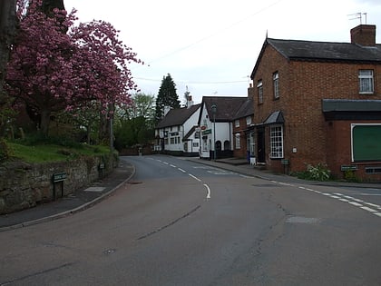
Coventry Way, Meriden
Map
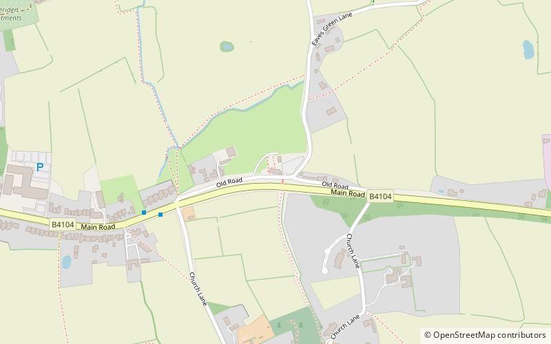
Map

Facts and practical information
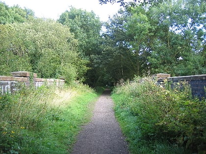
The Coventry Way is a 40-mile long distance footpath in central England that starts and finishes in Meriden. It forms a circular route around the city of Coventry covering countryside in both the West Midlands and Warwickshire. The path is managed by A Coventry Way Association. ()
Coordinates: 52°26'9"N, 1°37'53"W
Address
Meriden
ContactAdd
Social media
Add
Day trips
Coventry Way – popular in the area (distance from the attraction)
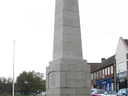
Nearby attractions include: National Motorcycle Museum, Forest of Arden Hotel and Country Club, Cyclists War Memorial, National Exhibition Centre.
