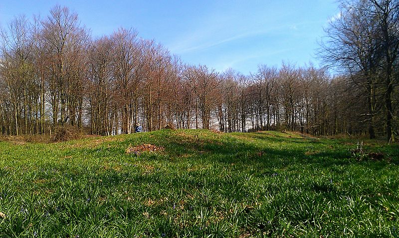
Julliberrie's Grave

Gallery (2)
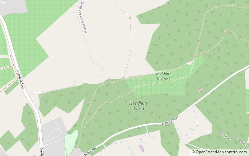
Map
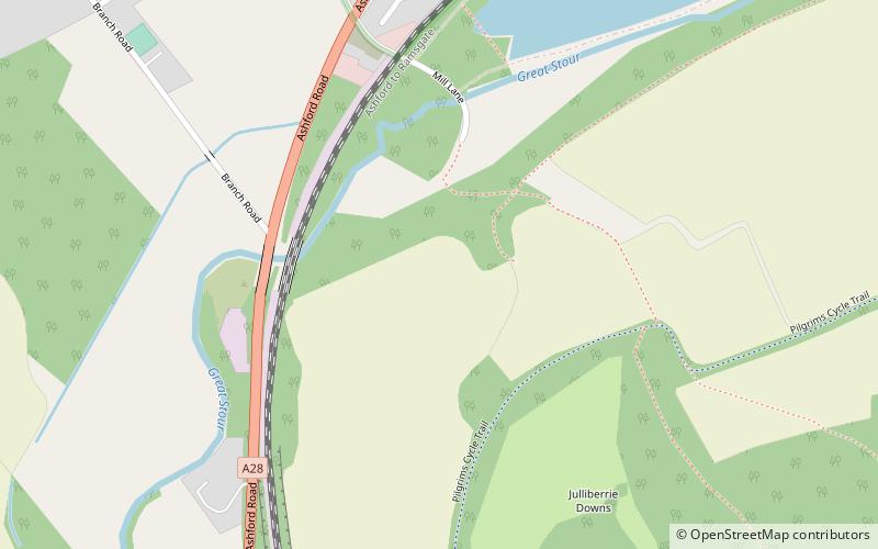
Map
Gallery
Facts and practical information
Julliberrie's Grave, also known as The Giant's Grave or The Grave, is an unchambered long barrow located near to the village of Chilham in the south-eastern English county of Kent. Probably constructed in the fourth millennium BCE, during Britain's Early Neolithic period, today it survives only in a state of ruin. ()
Coordinates: 51°14'25"N, 0°58'27"E
Location
England
ContactAdd
Social media
Add
Day trips