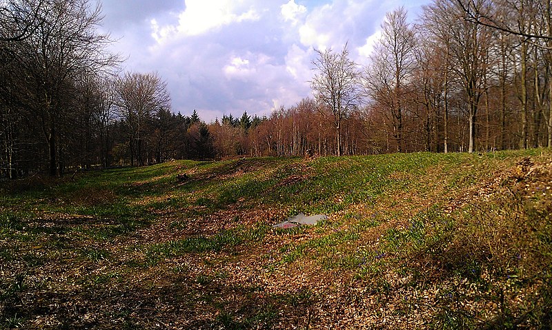
Jacket's Field Long Barrow, Kent Downs

Gallery (2)
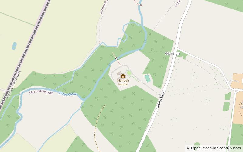
Map
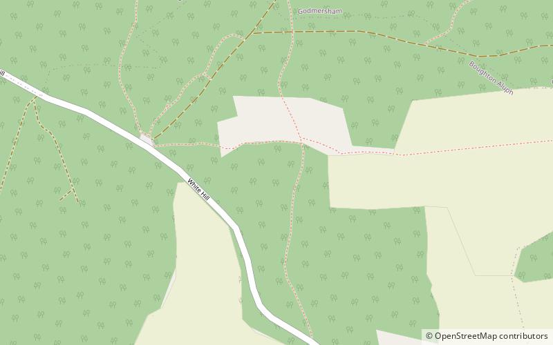
Map
Gallery
Facts and practical information
Jacket's Field Long Barrow is an unchambered long barrow located near to the village of Boughton Aluph in the south-eastern English county of Kent. It was probably constructed in the fourth millennium BCE, during Britain's Early Neolithic period. Built out of earth, the long barrow consists of a sub-trapezoidal tumulus flanked by side ditches. ()
Coordinates: 51°12'34"N, 0°54'34"E
Address
Kent Downs
ContactAdd
Social media
Add
Day trips