Lodge Road, Coleraine
Map
Facts and practical information
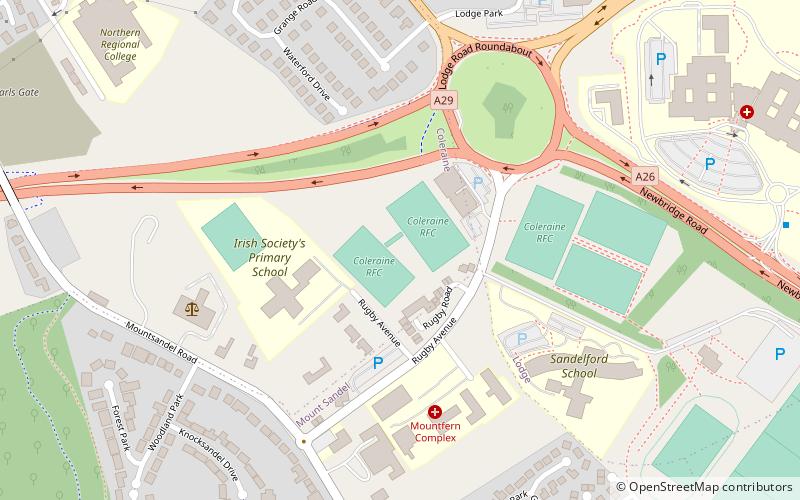
Lodge Road is a cricket ground in Coleraine, Northern Ireland and the home of Coleraine Cricket Club. In 1987, it hosted a first-class match between Ireland and Scotland, a match which ended in a draw. ()
Coordinates: 55°7'22"N, 6°39'30"W
Address
Coleraine
ContactAdd
Social media
Add
Day trips


Frequently Asked Questions (FAQ)
Which popular attractions are close to Lodge Road?
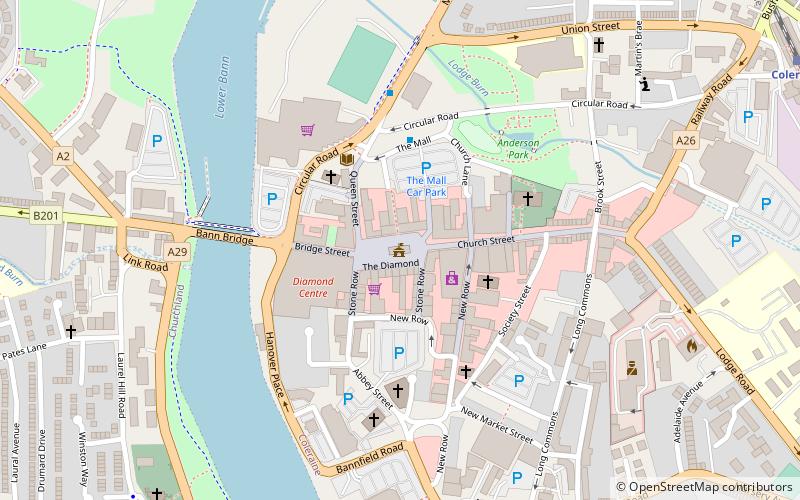
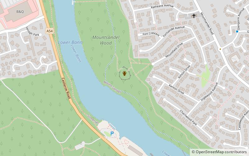
Nearby attractions include Mount Sandel Fort, Coleraine (14 min walk), Coleraine Town Hall, Coleraine (21 min walk).