Mount Sandel Fort, Coleraine

Map
Facts and practical information
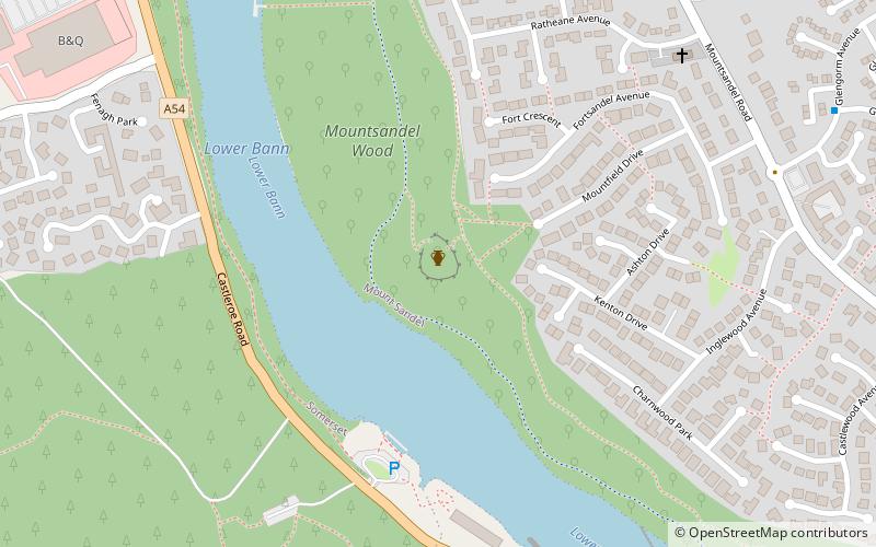
Mount Sandel Fort is an Iron Age fort in Coleraine, County Londonderry, Northern Ireland. The remains of the fort are located close to the Mount Sandel Mesolithic site. Mount Sandel Fort mound is a State Care Historic Monument in the townland of Mount Sandel, in Coleraine Borough Council area, at Grid Ref: C8530 3070. ()
Coordinates: 55°6'58"N, 6°39'50"W
Address
Coleraine
ContactAdd
Social media
Add
Day trips
Mount Sandel Fort – popular in the area (distance from the attraction)
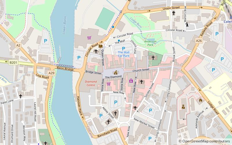
Nearby attractions include: Coleraine Town Hall, Diamond Centre, Coleraine Castle, Mount Sandel Mesolithic site.


